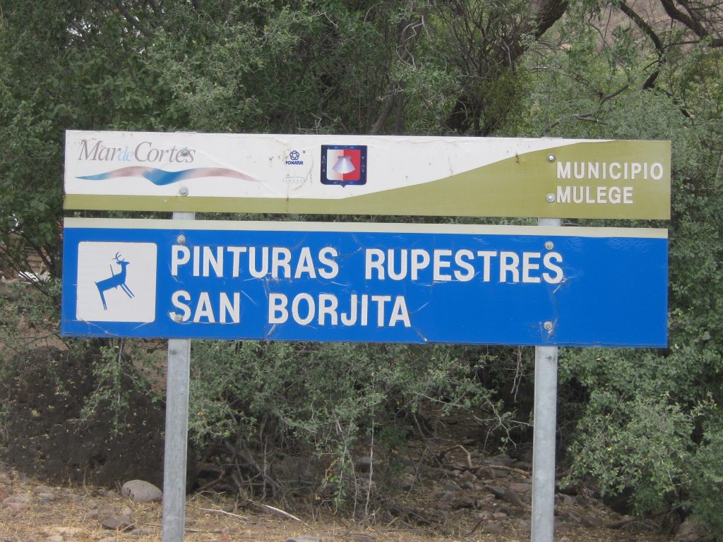
The San Borjitas site is a Pictograph site in the style of The Great Murals. There are many multi-coloured Anthropomorph (Monos) figures at sizes exceeding lifesize. When the Cochimi were questioned by the Spanish Padres whether they made these pictures, they were told. . . “They were here before we came”
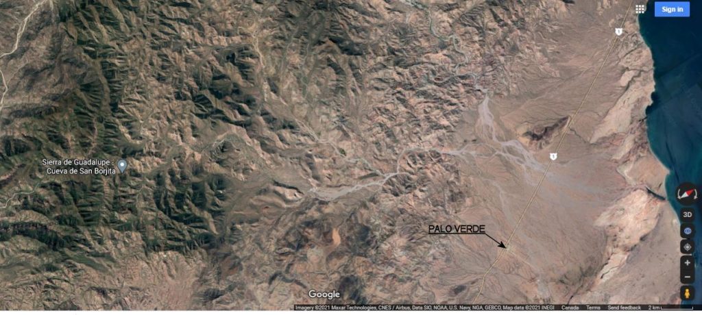
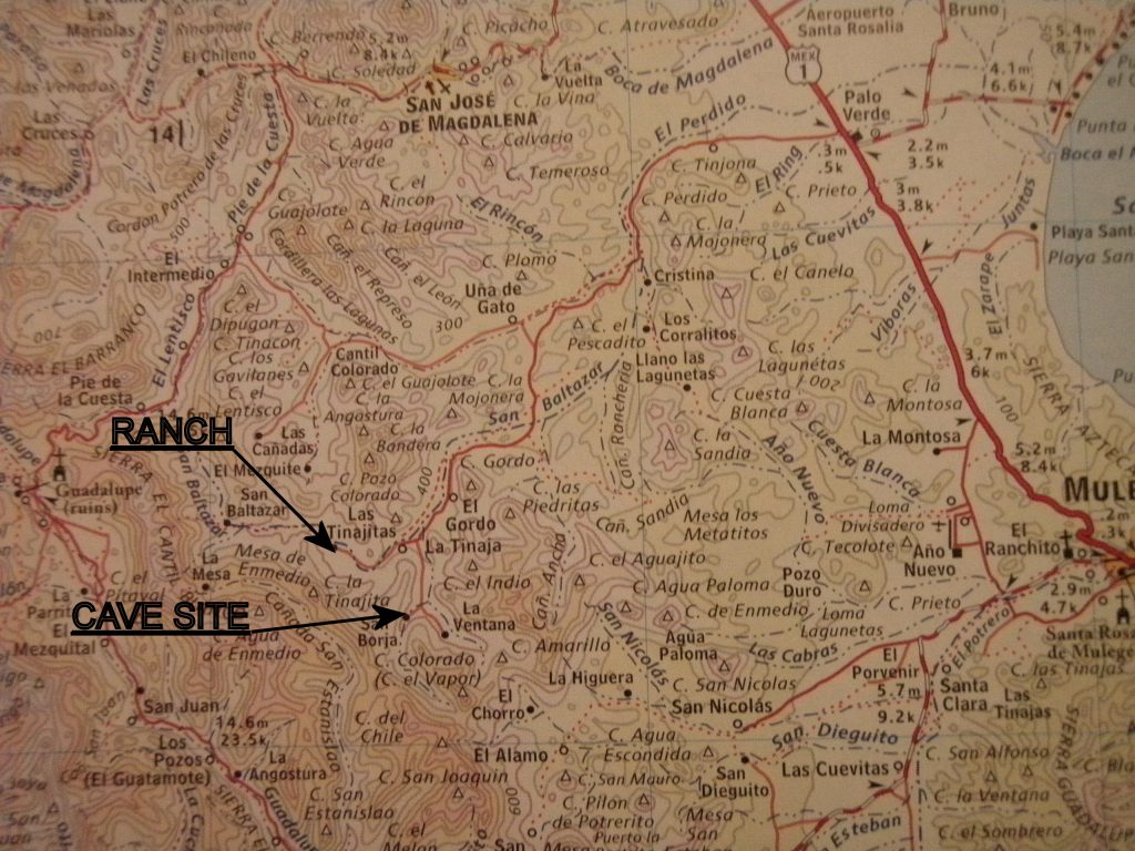
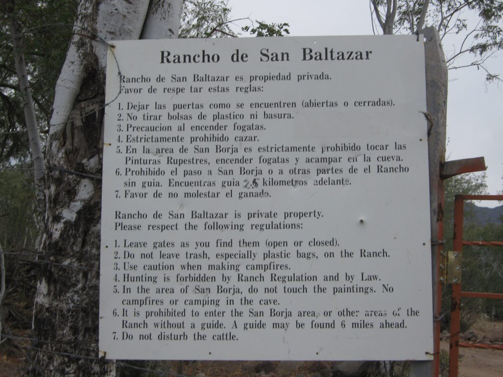
This cave site is on the rancho San Baltazar property (N26deg, 53.544min. W112deg, 15.785min. Elevation 1476ft) and must be visited with a guide from that ranch. The ranch is reached by a 27km drive from highway #1 at the village of Palo Verde, north of Mulege.
Allow about 3 hours for a one way drive on arroyo roads to the ranch from highway #1. The road is scenic, but depending on recent rains, it can be very rough.
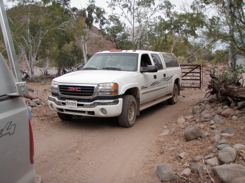
There are four gates to be opened and closed on the way in to the ranch. Watch for cattle!
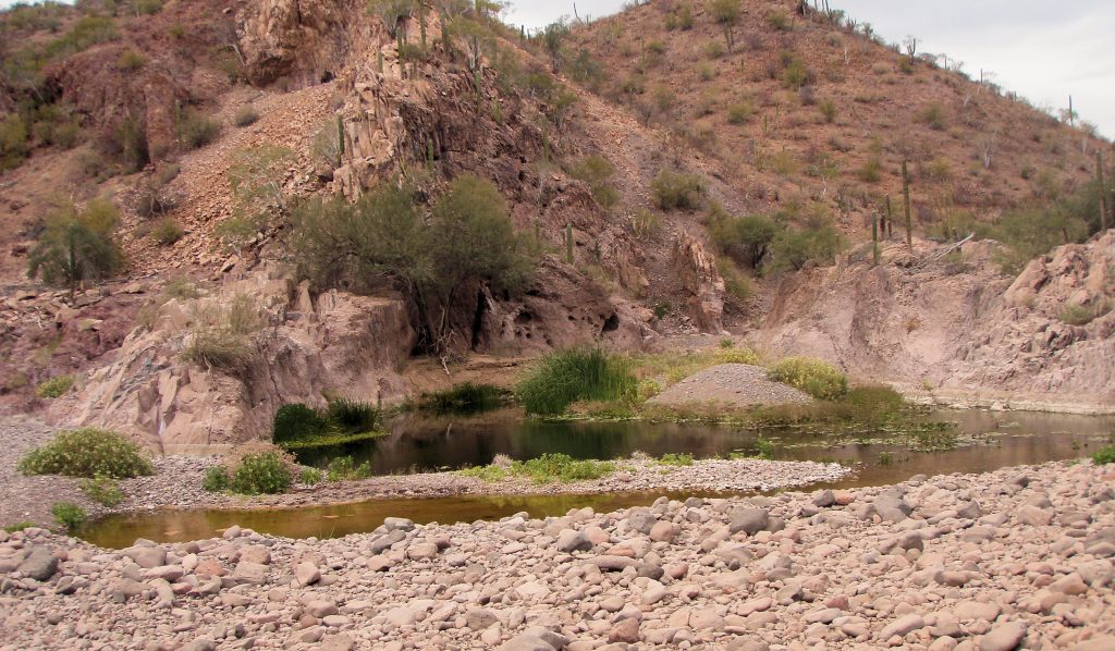
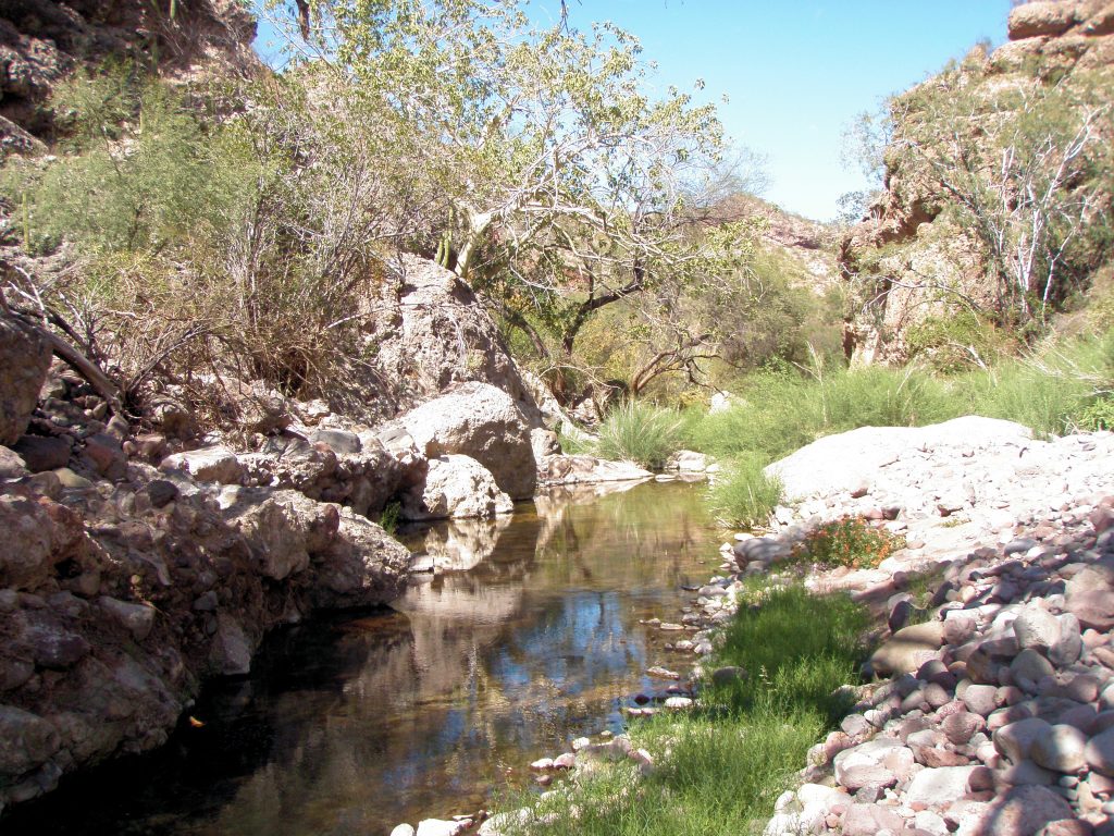
On your way into the ranch (or on your return if there’s time) there are pools of water in the main part of the El Perdido arroyo that invite a refreshing swim.
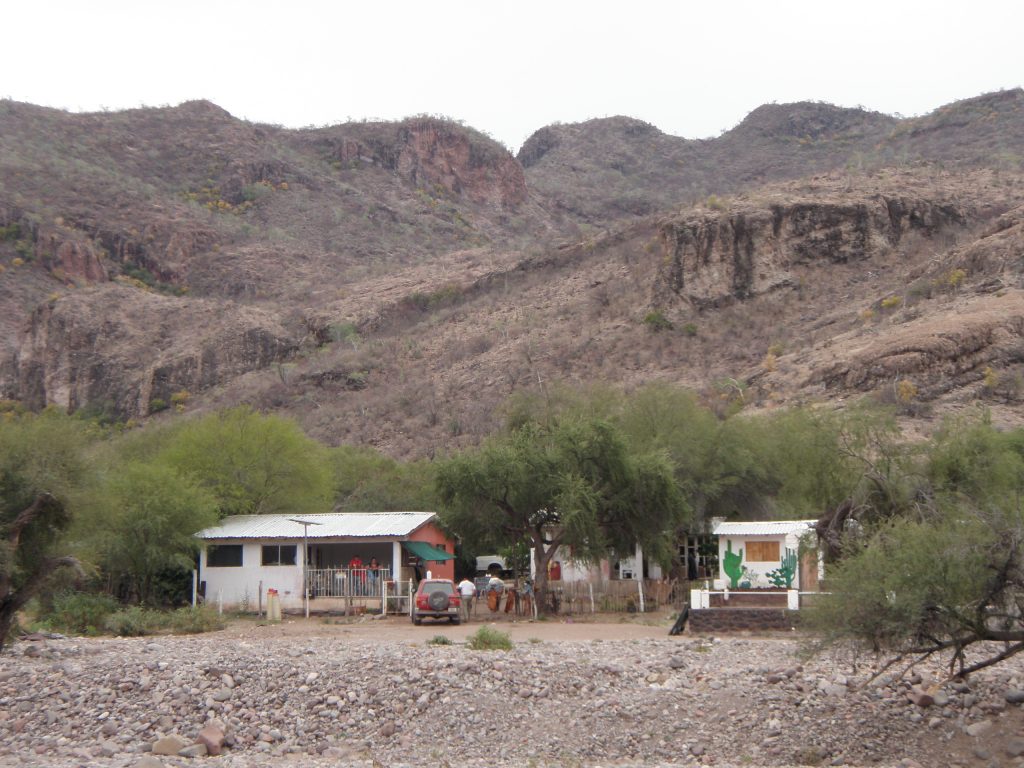
Once at the ranch you pay a fee and a guide is hired, you backtrack about 2kms to a locked gate for access to the San Borjitas parking lot about 3kms from the gate; again. A rough road suitable for vehicles of high clearance. The ranch has a radio phone and can be contacted from Mulege to make arrangements for your guide.
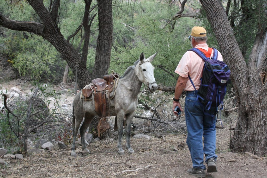
The parking lot trailhead is located at N26deg, 52.384min. W112deg, 15.461min Altitude 1451ft elevation. The cave is located at N26deg, 52.045min. W112deg, 15.474min and about 1700ft altitude. No, you can’t take the mule Stan!
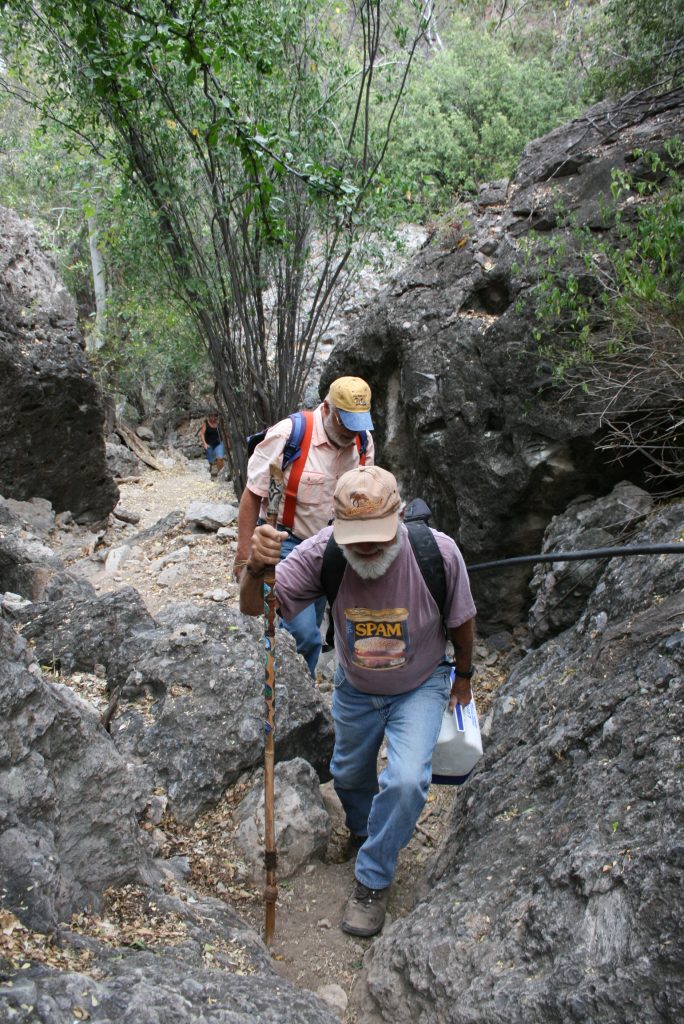
Once at the parking lot the hike up to the cave is about 3/4km and takes about 20 minutes.
Did I mention you should pack a lunch with you?
The trees and shrubs in the area are large compared to coastal trees of the same type and provide dense ground cover. There are Palo Verde, Palo Blanco and Palo Fiero, also numerous Wild Fig and one “blue” palm tree. No evidence of Agave plants at this altitude and on this side of the peninsula. If your group is quiet you might see deer !
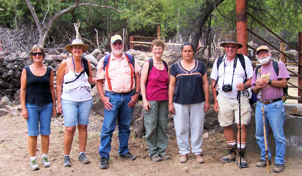
Our guide from the ranch for this trip was Senia. She was patient and was able to answer questions provided they were given in Spanish. It is normal to give a tip to the guide for her services.
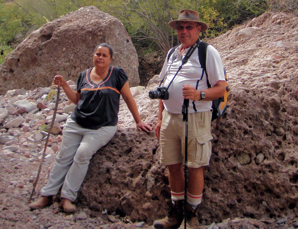
Neil is fitted out well for this trip with a good camera, good boots, a hat for sun protection, sunscreen and water in his pack.
Our trip to the cave took all day with about 2 hours actually at the cave site examining the pictographs and taking photos.
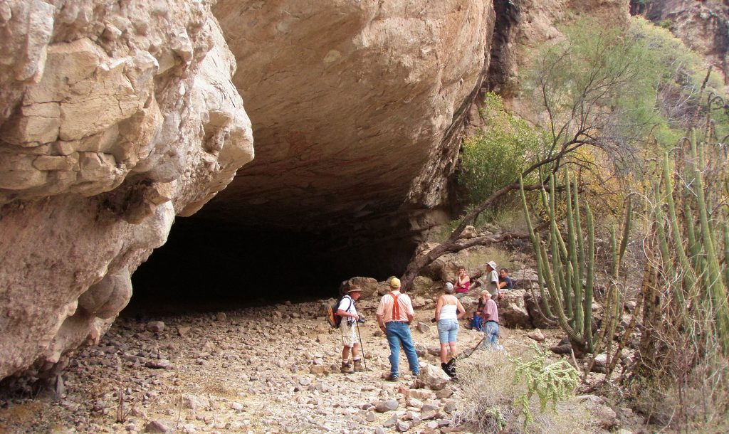
The cave is located on the south side of a canyon that runs roughly northeast to southwest between mountains rising steeply to about 3000ft elevation. There seems to be permanent water flow in the stream at the floor of the canyon. The cave is reached by a trail in fair condition and is about 250ft above the stream bed. From the cave the vista is mainly up the canyon to the southwest and across the canyon.
The cave is a respaldo type with tan coloured sandstone-like structure above and volcanic tuft forming the rear and side walls. Evidence of animals in cave.
Now that you’ve got here. . . Click on the button below to take you to the next part. . . The Paintings!