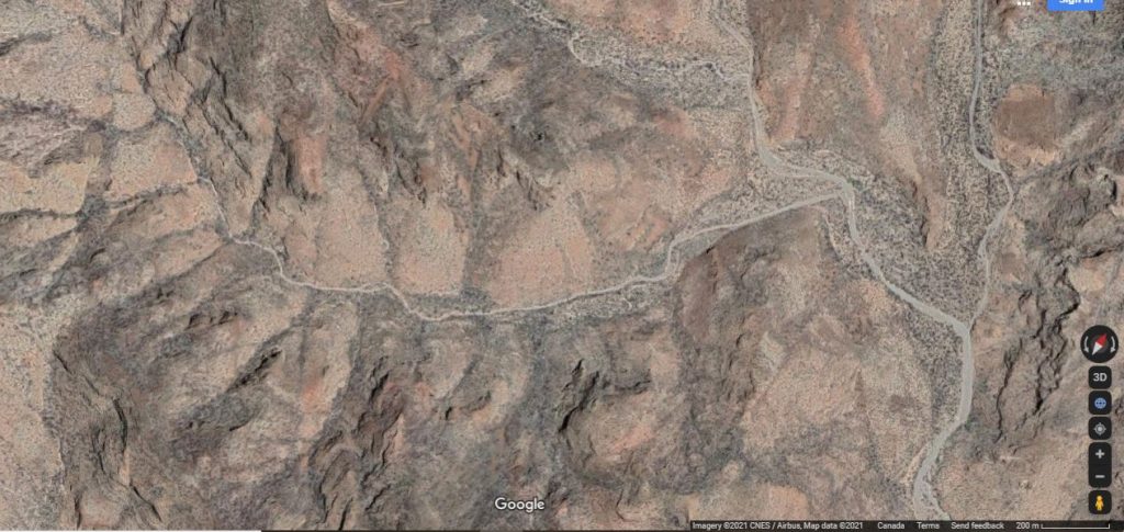
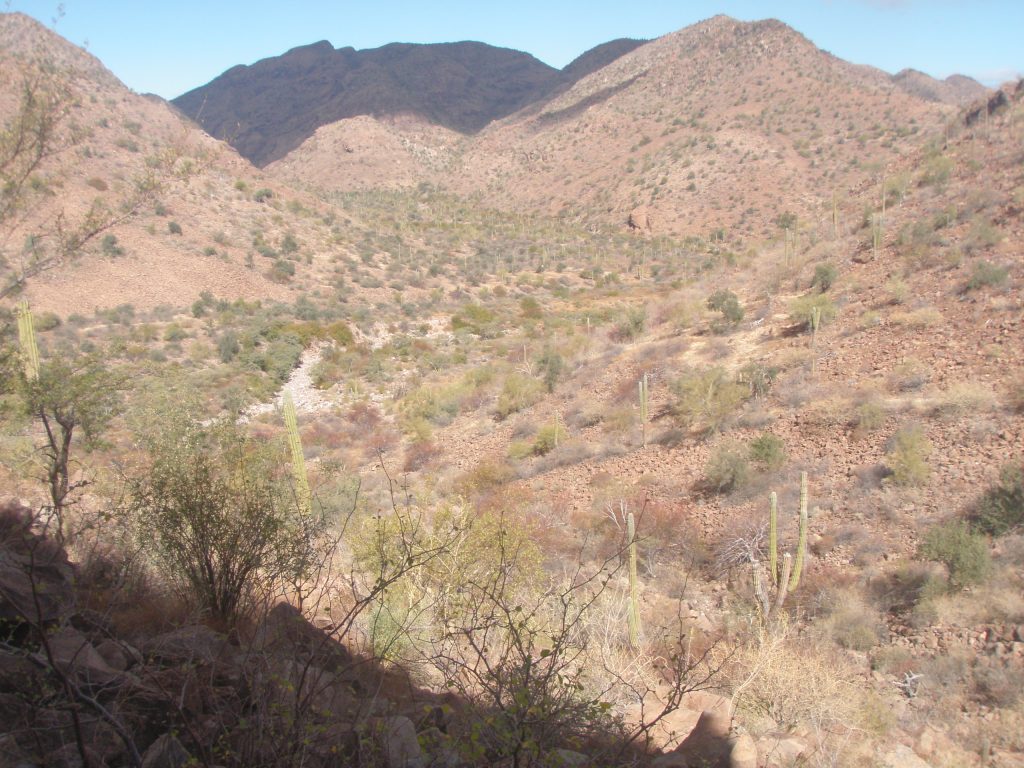
ARROYO 2 LEFT starts at about 3.2km from road at 26.703447, 111.934812. Altitude is 101 meters where it meets the main arroyo.
No art found in any caves/shelters examined in this arroyo.
No trail is evident in arroyo itself but there are numerous trails on the benches on either sides. This arroyo is very rocky and at the higher end has many Tinajas. However no springs or seeps were found
Pass at head of arroyo at about 3.5kms from the start of this arroyo (or 6.7km from Vado on Mex 1) at 480meters altitude leading to the San Juan arroyo at about 26.699720, 111.960189. Once attaining the pass elevation, rather than descending to the San Juan arroyo you could traverse to the NNE for about 1km and descend into the Mulege drainage basin at about 26.706555, 111.963273. This could therefore be a ‘possible’ travel route for the Cochimi in their seasonal meandering.
Rock outcropping containing Cave SB 2L C1 on left at about 3.6kms. At 26.700159, 111.937543 and about 125 meters altitude. Location is north facing and is at arroyo level but is about 50 meters to the left of the arroyo next to an old arroyo channel. There was a large bench area on other side of arroyo here
There were 2 caves at this location, almost joining. The smaller cave was about 2 meters wide, 2 meters high and about 1 meter deep. The second was larger at 3 meters wide, 2 meters high and 5 meters deep. Cave material was volcanic tuft. This cave had a metate in it’s forecourt. One other portable metate lay in the general area. A large permanent bedrock metate was also here. What could have been a mano stone was found alongside. Some shells were found in area. No midden. No art. Some fire blackening was evident
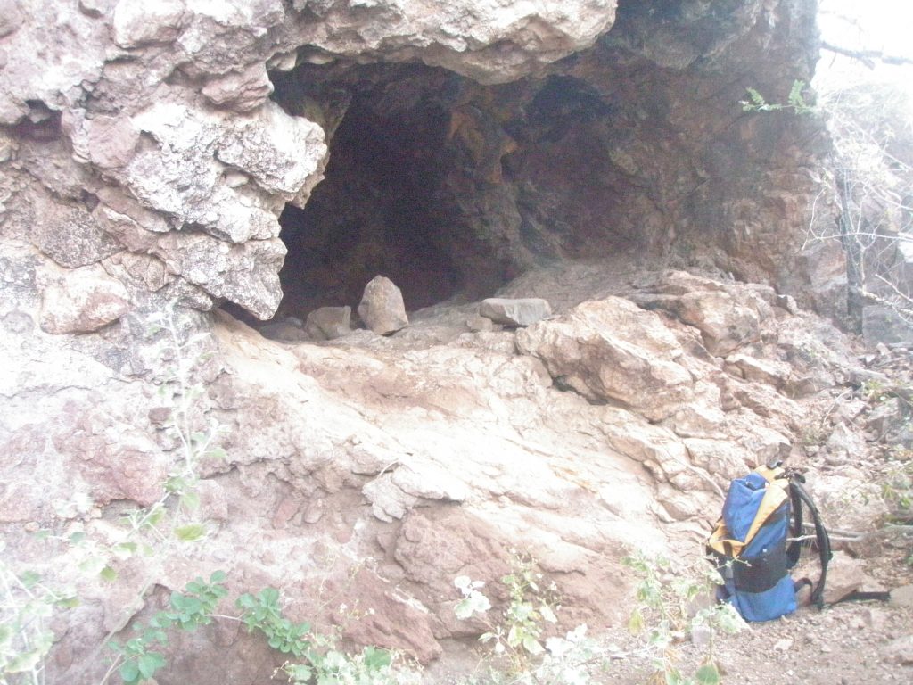
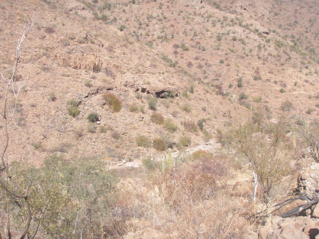
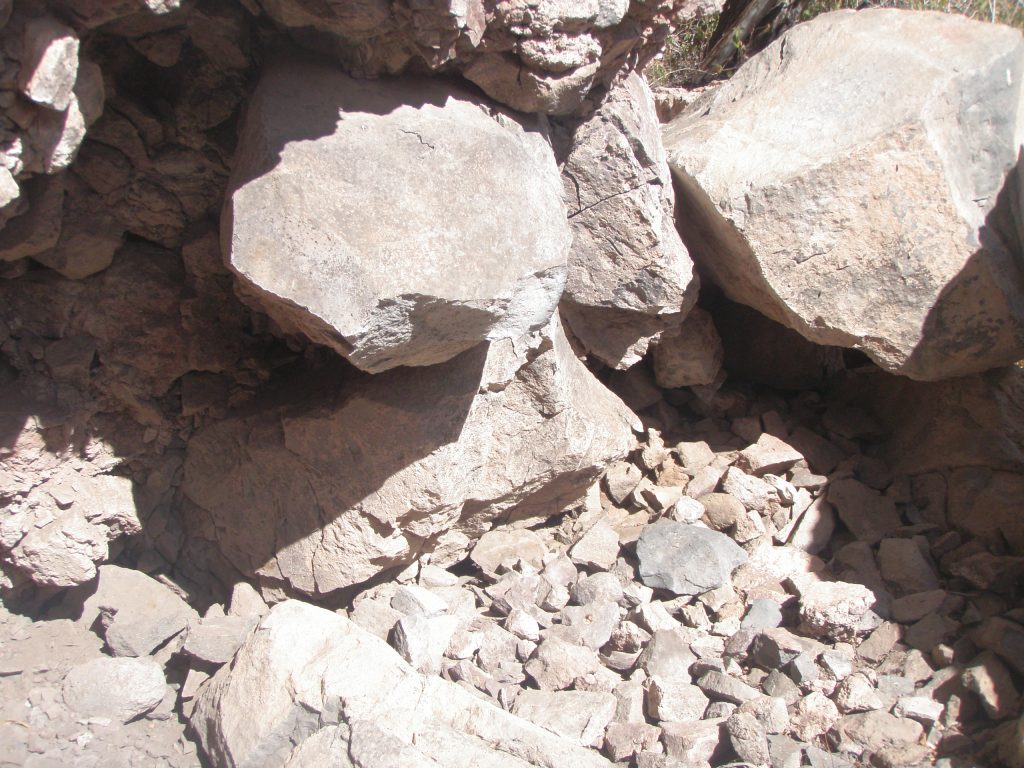
Bench On left side at 4.0kms at 26.697620, 111.939414 with rocky outcropping and possible cave above facing north, close to the top of the hill some 200 meters in from the arroyo. This upper cave was not visited as it was deemed too high above the level of the arroyo. There was another Cave SB 2L C2 lower down at 26.69754, 111.93749 that was visited but had nothing in it at all.
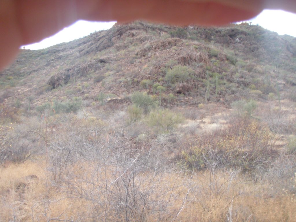
Photo on left shows Cave SB 2L C2 at the bottom, and Cave SB 2L C3 slightly higher and to the left. Other caves above that were not visited. Oops with the finger!
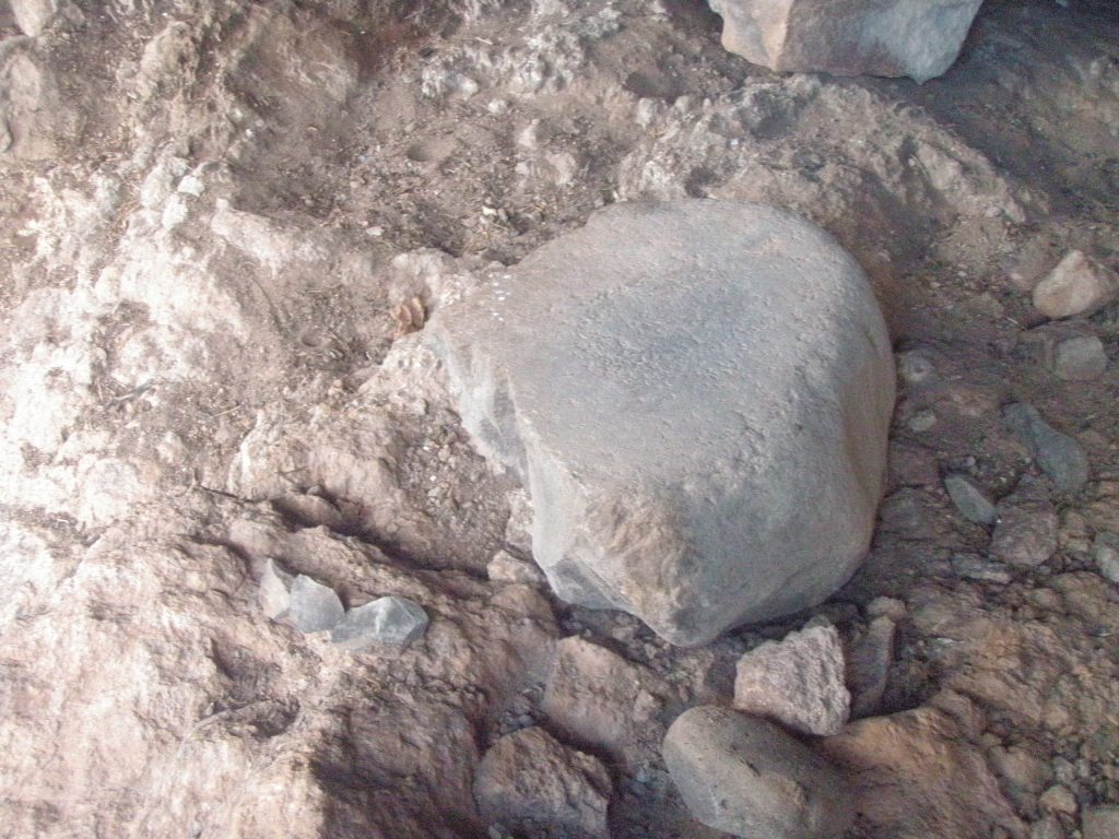
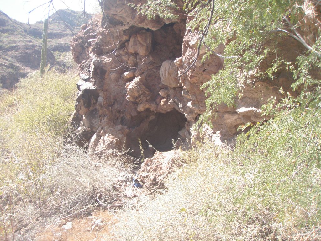
Another northeast facing Standard cave in area, Cave SB 2L C3 at 26.69728, 111.93684 and slightly higher altitude of 172 meters 4 meters wide, 3 meters high and about 4 meters deep. Volcanic tuft.
This cave Cave SB 2L C3 contained a metate and possibly the mating mano as evidenced by the ground down flat surface. There were some shells in the immediate area.
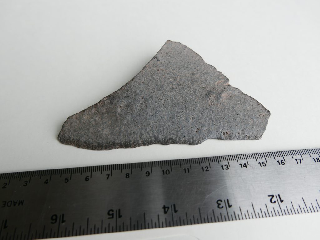
In Cave SB 2L C3 there were also numerous andesite rock shards and what could have been a hand scraper tool showing wear and use at one of the edges. Length of tool is about 14cms. Some dark staining on the opposing edge from probably skin oils from rubbing from where the thumb or forefinger would have been placed during use.
No art in cave.
The view from Cave SB 2L C3 to the north. Shows the arroyo 2 LEFT in the foreground. In the distance you can see the large house sized rocks that mark the junction of arroyos 3 LEFT and 4 RIGHT. Benches in the area would have produced seeds and fruit for the Cochimi.
Draw/Wash on right at 4.8kms at 26.694525, 111.945178 No visible outcroppings up to saddle at about 310 meters altitude.
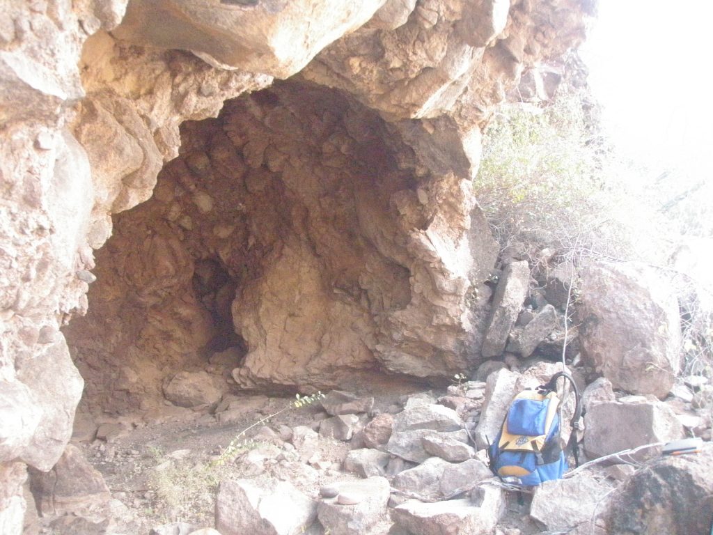
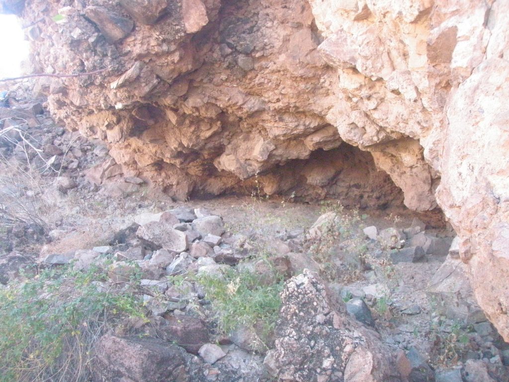
On right side of arroyo at 26.69436, 111.94555 is a south facing overhang about 20 meters above the arroyo at 199meters that contained 2 caves.
Cave SB 2L C4 as seen from across the arroyo. Often, when on one side of an arroyo checking out a shelter or cave, I spy a cave on the opposite Falda. This makes for a lot of to-and-fro and is time consuming.
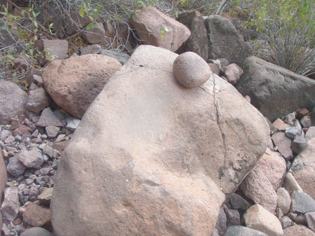
Cave SB 2L C4 is about 15 meters wide, 4 meters high, and about 3 meters deep at its deepest. The cave contained a metate, some shells and stone shards. No midden, no art.
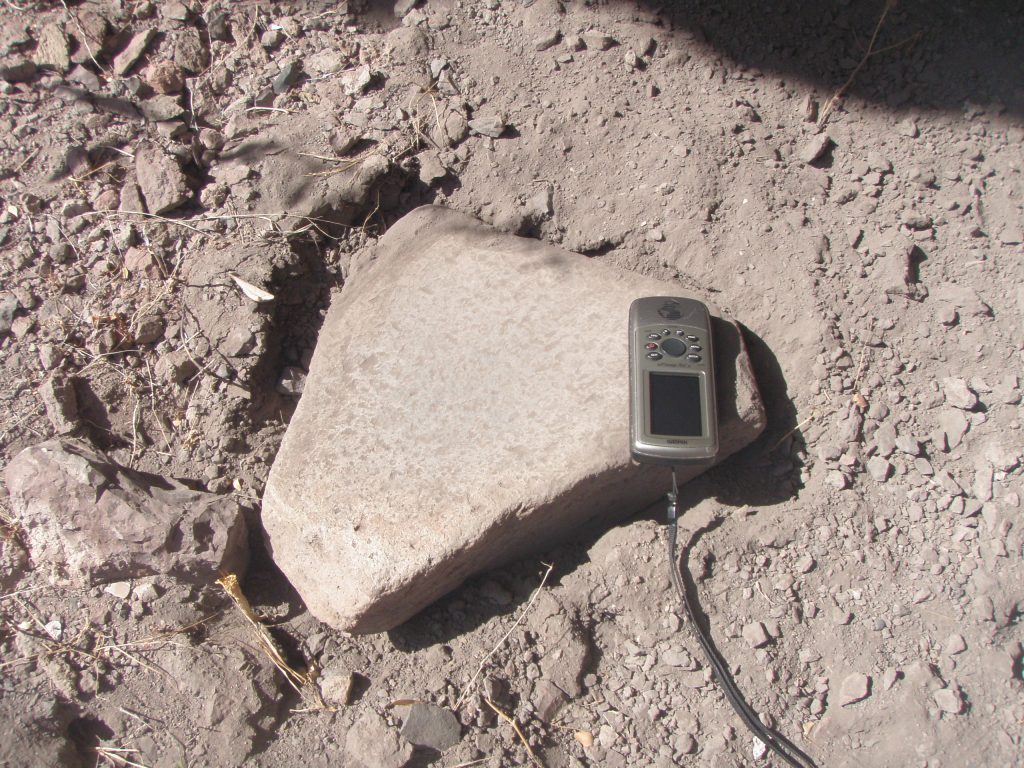
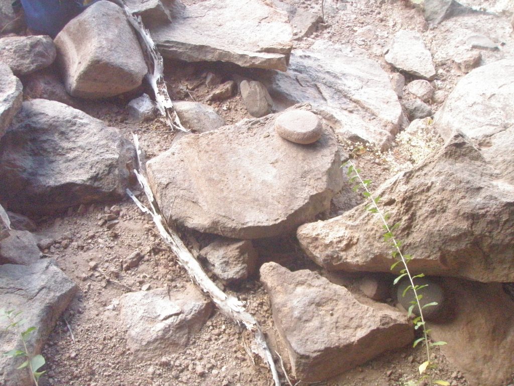
This is the metate found in SB 2L C4. You may notice that the metate seems to have been recently disturbed. I check out the bottom side of most metates to see if they have an ‘owner’s mark’. This is a tip I got from Jim Workman. You have to be careful for scorpions though!
Again in Cave SB 2L C4. This shows an embedded boulder of andesite with obvious chunks broken off, probably in the attempt to obtain suitable ‘edges’. There were lots of discarded shards in this cave
Slight Draw on left at 5.0kms at 26.693382, 111.946986 with rocky outcroppings and possible shelters. One about 70 meters from the arroyo seems to have trail coming from it at 26.69271, 111.94597. Cave SB 2L C5 . Shown opposite. Altitude 206 meters. A well formed standard cave about 10 meters wide, 2 meters high and 4 meters deep. This cave contained nothing (that I could find).
The arroyo sides here are getting quite steep and is harder to climb.
Others possible shelters above this one but were not visited as they were too high to reach due to time of day and the need to return to my camp.
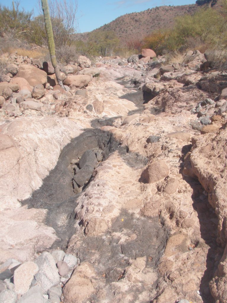
Arroyo here had frequent tinajas in bedrock that would have retained water in the summer rainy season, as evidenced by the black staining.
The following may lead to more discoveries if you feel up to the challenge?
Draw on left at 5.1kms at 26.693252, 111.948061 has numerous rock outcroppings facing north but none seemed to have shelters. There is a grouping about 100 meters off the arroyo and another larger grouping closer to the top of the hill which is about 400 meters elevation. Arroyo here is about 200 meters altitude.
Draw on left at 5.5kms at 26.694331, 111.951583. With outcroppings within 50 meters of arroyo. Others higher up leading to large cleft in rock about 200 meters from arroyo. Other outcroppings higher than this may contain shelters but are very high off the arroyo.
Draw on left at 5.7kms at 26.695067, 111.953428 with outcroppings within 50 meters of arroyo. Many outcroppings higher up.
Arroyo may have steep sides for the next few hundred meters
Draw on left at 6.0kms at 26.696123, 111.956639 outcroppings at about 100 meters from the arroyo. Altitude at arroyo here is about 300 meters
Pass to the San Juan arroyo at 460 meters at about 6.7kms at 26.699742, 111.960302