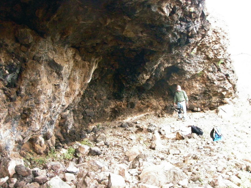
North East Cave (S1 on Google View)
Cave with north east prospect situated a short way inside the arroyo with two other shelters close by. Cave is about 20 meters wide at mouth, about 5 meters deep and 4 meters high. Location is N 26.74xx. W111.90xx, and is at an altitude of 20 meters.
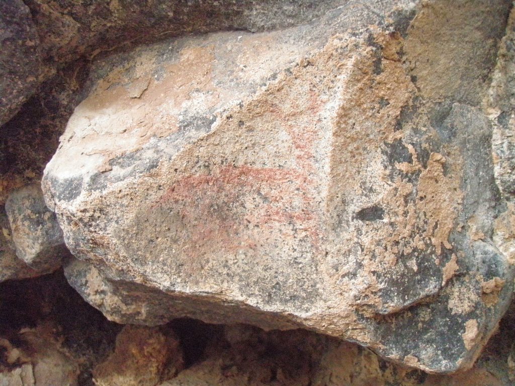
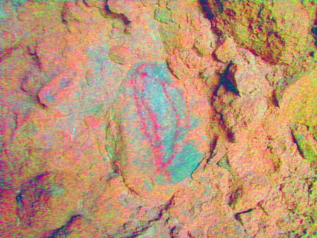
This cave has a small painted deer about 15cms long that was outlined in red and quite clear.
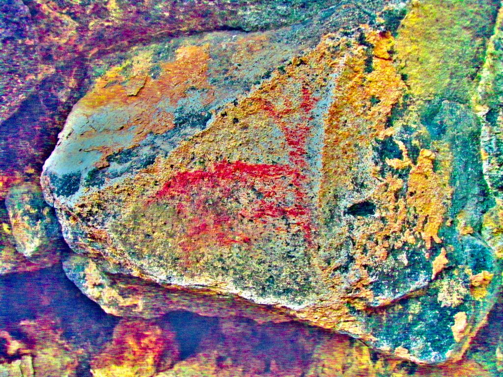
There were stone knappings inside cave and a shell midden. No Metates. 2 other shelters close by contained no art.
Cueva No Tira (S2)
This Compound cave is located just inside the El Tordillo arroyo that backs the Los Cocos Beach. The view from the cave is towards the north east over the portion of the arroyo where garbage is dumped and is at an elevation of 17 meters above sea level. There is a sign in the arroyo immediately below the cave saying ‘No Tira Basura’ meaning – Don’t Throw Garbage.

The GPS coordinates are N26.74xxx. W111.90xxx. The cave is about 14 meters wide, about 4 meters high and has varying depths to about 4 meters. There is a small adjoining cave to the right (west) side that contains no art work. The rock material is exclusively volcanic tuft with some prominent boulders sticking out from the background material. Some black staining of the walls give the impression of being smoke blackened but may be due to oxidized minerals. The cave is reached by a scramble over a Falda of boulders of mixed sizes. No discernable historic trail was seen. There is a large shell midden in front of the cave that also contained a six inch bone fragment of indeterminate age. There is a rectangular Metate in the cave. The paintings are rendered in red paint on the prominent boulders.
The cave is dark and photos had to be taken with flash. This shot shows 3 fish? in yellow with heads up.
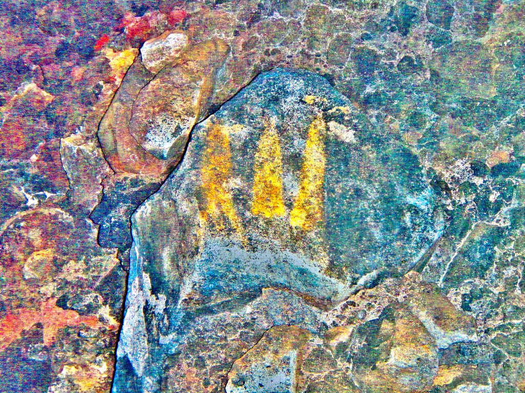
One boulder shows 3 figures about 25cms high fully coloured but faded reminiscent of the three human figures at the Pez Gallo shelter. There are 4 vertical lines underneath. Tally marks?
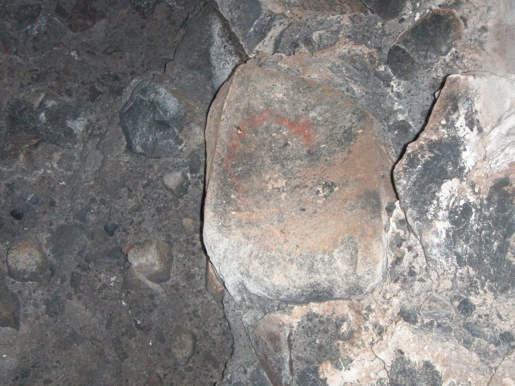
One shows what could be a throwing stick about 15cms in diameter superimposed over a faded un-clarified object (of a different colour too).
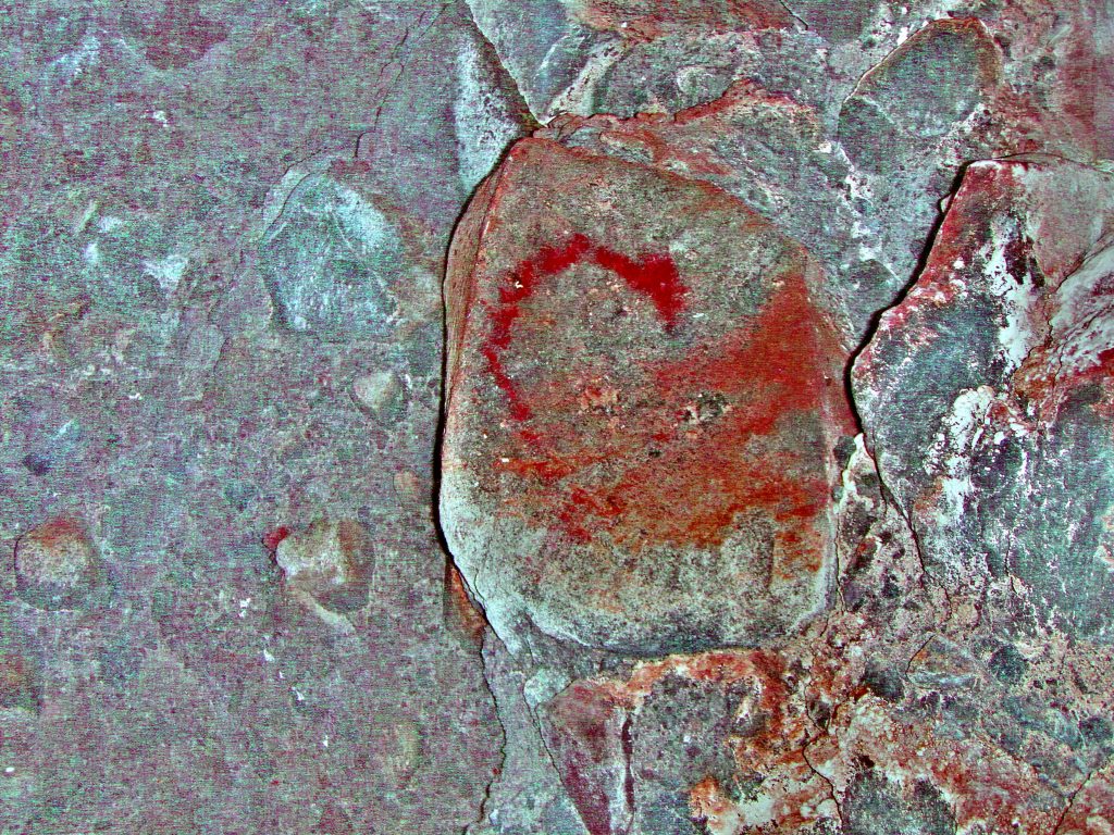
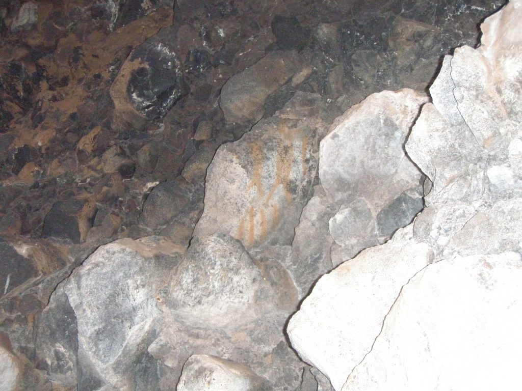
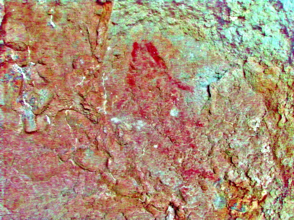
Another faded pictograph shows an object, taller than it is wide, with internal longitudinal lines with an arrow or atlatl dart penetrating the top portion of the figure in a diagonal direction. This most likely could be a fish. Maybe painted by a person with a ‘fish’ as his totem. Maybe hoping for a successful fishing trip? Ho-Hum picture, right? When we enhance the photo with Dstretch we see something else.
Photo NT 07a
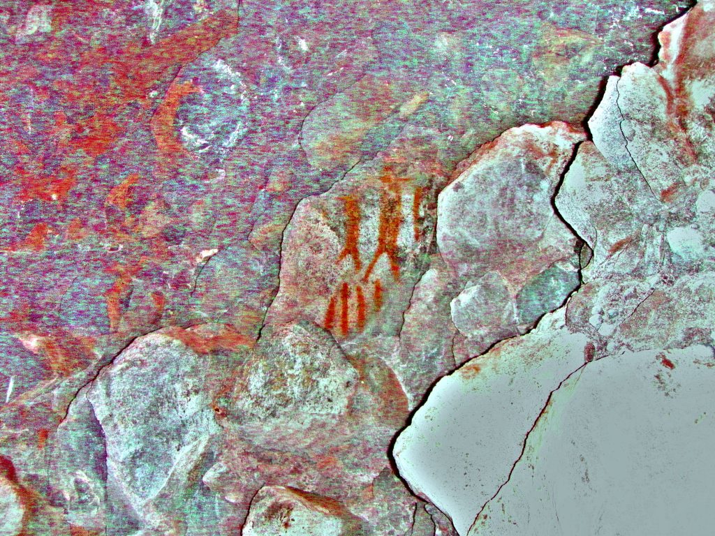
The first enhancement just makes the images seem clearer. Now you can see what may be the outline of the tail of the fish somewhat ‘incorporated’ into the shape of the bottom edge of the boulder. The atlatl dart is a little clearer too.
Photo NT 07_flt_yrd
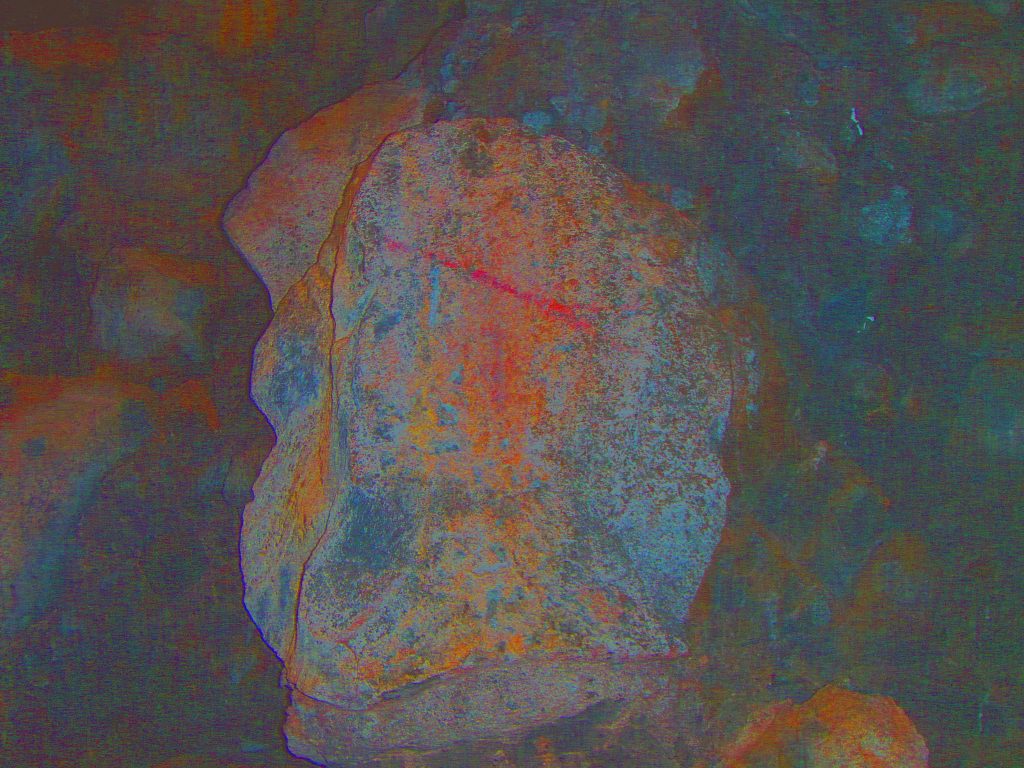
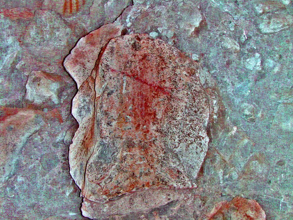
Now when enhanced with a different algorithm you can see that the red colour of the dart is different from the red of the figure’s outline. This suggests the dart was added at a different time and more than likely, by a different person. Also, if you look back to the previous image, you’ll see that the rock face has scars and chips out of it. Both these signs then, that a person, other than the original artist intended to desecrate the image, and by inference, the person that drew it! Conflict in the clan?
Photo NT 07_ac_rgb
You will see this theme of desecration repeating itself on many images. One image superimposed over another, or with Darts/arrows painted with different colours. The main theme in the Lizard Man Cave in this arroyo is a case in point. This will be shown here as site S15.
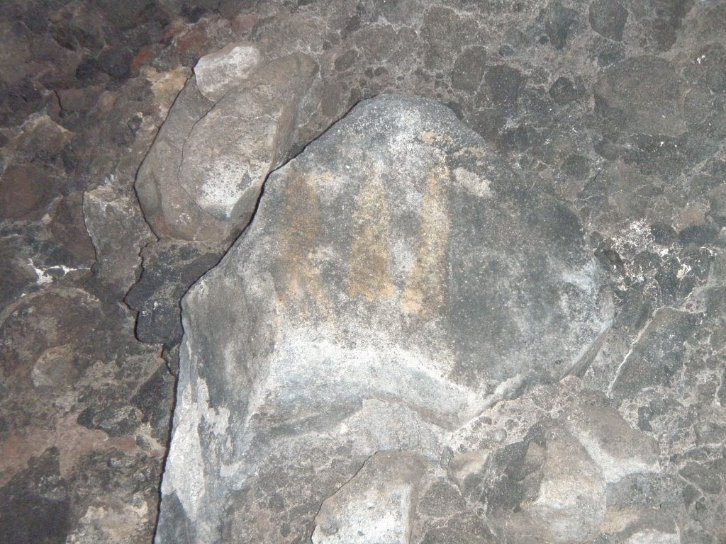
There is other art work in the cave that is more faded and unclear. More, better quality photos would be nice.
Cueva Las Abehas (S3) Cave of the Bees
Cueva Las Abehas (S3) Cave of the Bees
This is also a cave with a North-east prospect situated a short way inside the arroyo so it fit the description in Eric Ritters article. Cave is about 10 meters wide at mouth, 4 meters high and 4 meters deep. Location is N 26.74xxx. W 111.90xxx, and is at an altitude of 21 meters. This cave contained red coloured outline pictographs.
On the left. . .A vertical fish about 30cms long with tail down. On the right. . . What could be a depiction of a plant.
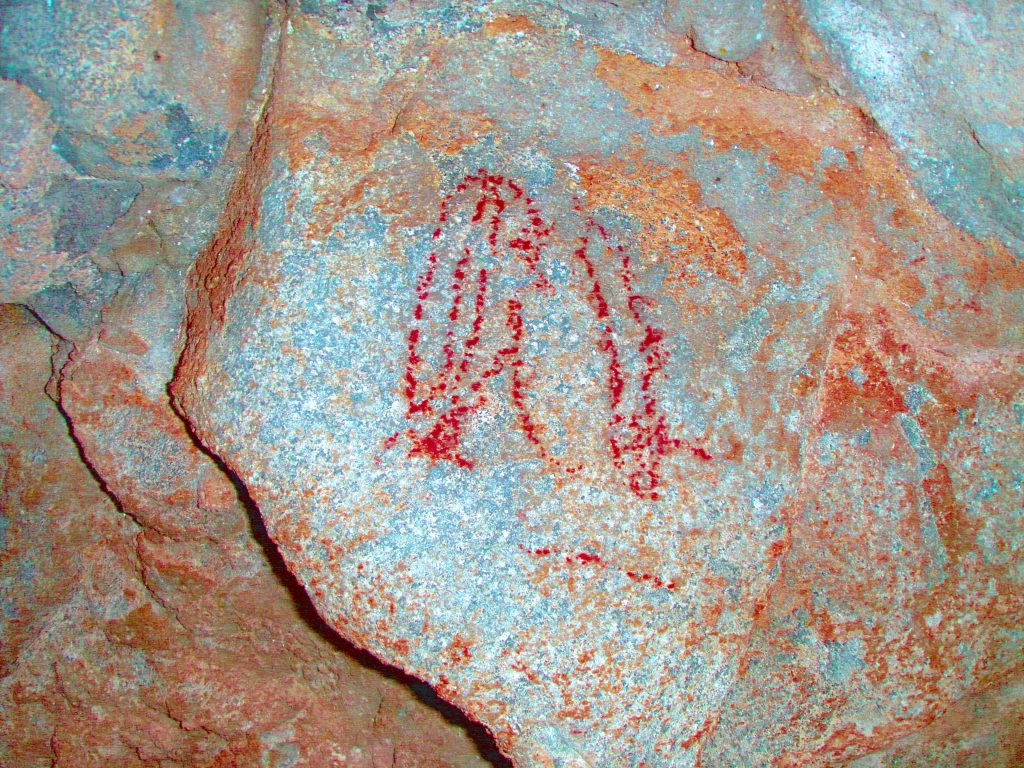
There was another faded picture of what could be another fish about 15cms long with tail down. This fish is different as there is no recognizable head. In the head’s place is a tubular addendum, here shown as a red dot. This stylized fish appears in many rock shelters in the area, including S15 Black Lizard Cave and also the petroglyphs in the San Nicholas arroyo described elsewhere.
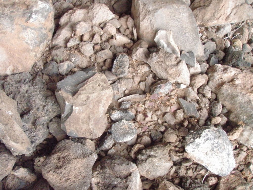
On the floor of this cave there were rock shards of hard Andesite showing signs of having been worked to produce ‘edges’
So why has this cave earned the name of Cueva Abehas?
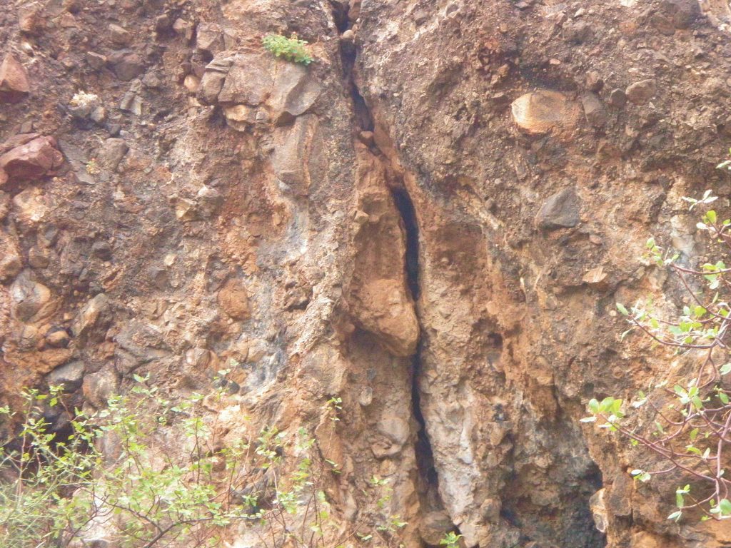
This location was first scouted out by Jim Workman and Garry Davidson by themselves. About 15 meters from the cave, both men were attacked by the bees as they approached. Both quickly turned about and ran/scrambled down the falda to the arroyo bottom. Even then the bees were still in attack mode. Both men ran for the mouth of the arroyo swatting at the angry bees. Jim and Gary both sustained multiple bee stings about the arms, neck and face. Gary had to seek medical help in Mulege. I believe he had 23 stings in the face and neck. They did not return to the site. A few days later on, I cautiously approached the cave in the early part of the day when it was cooler. I wanted to see if there was any rock art and to take photographs. The bees had a nest in a vertical fissure in the rock face to the left of cave. I approached cautiously. I was not stung. I quickly took the photographs you see here.
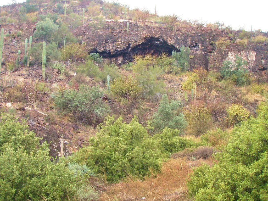
North Cave (S4)
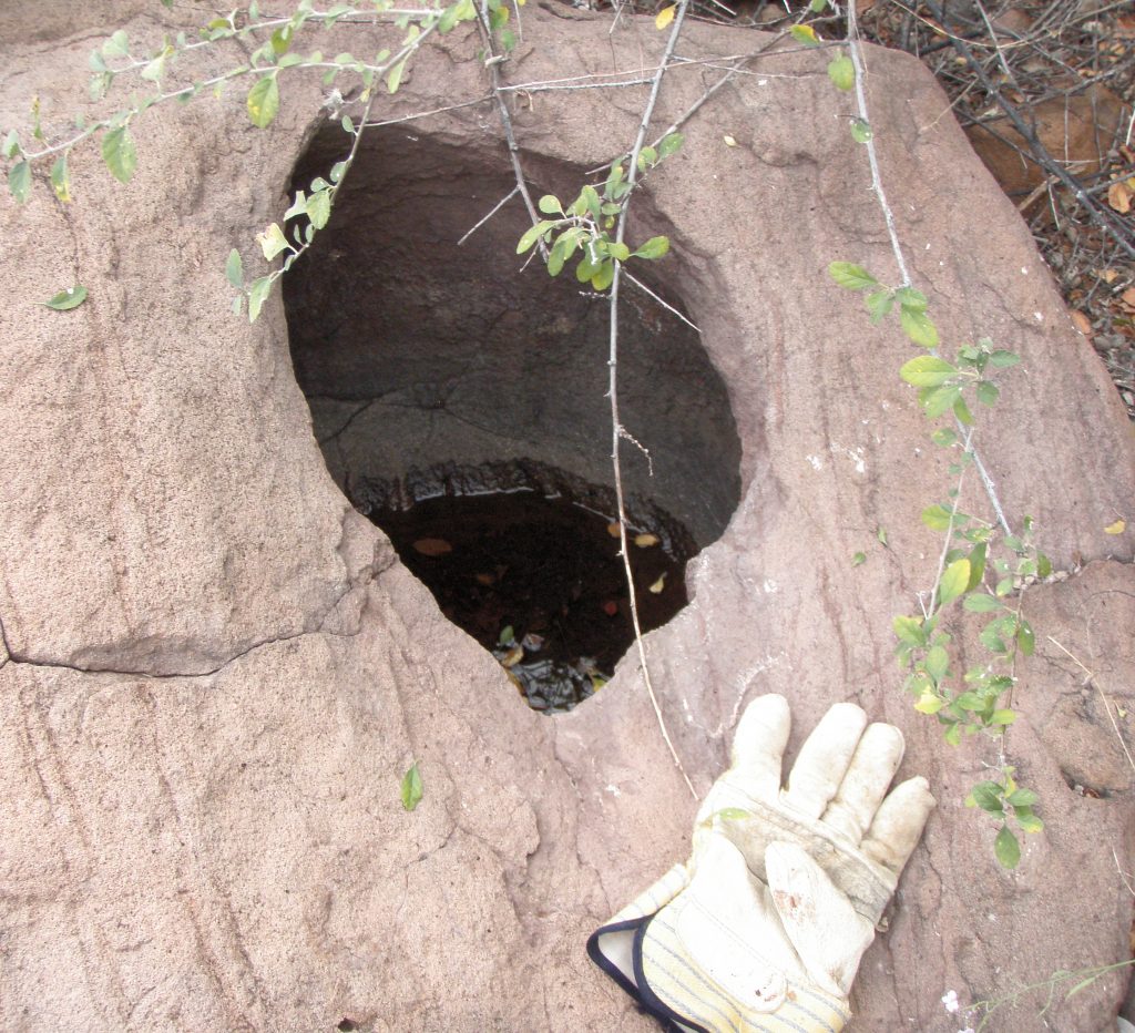
Water wash to the west of North Cave and one large boulder with tinaje containing water close by. (Photo)
North Cave (S4)
North facing cave just to the east of path hikers take to climb over to Burro beach. Cave is about 10 meters wide at mouth, 5 meters high and 3 meters deep and is located at N26.74xxx, W111.90xxx, and altitude of 57 meters. No art in this cave, no midden, no metates.