No art in this arroyo.
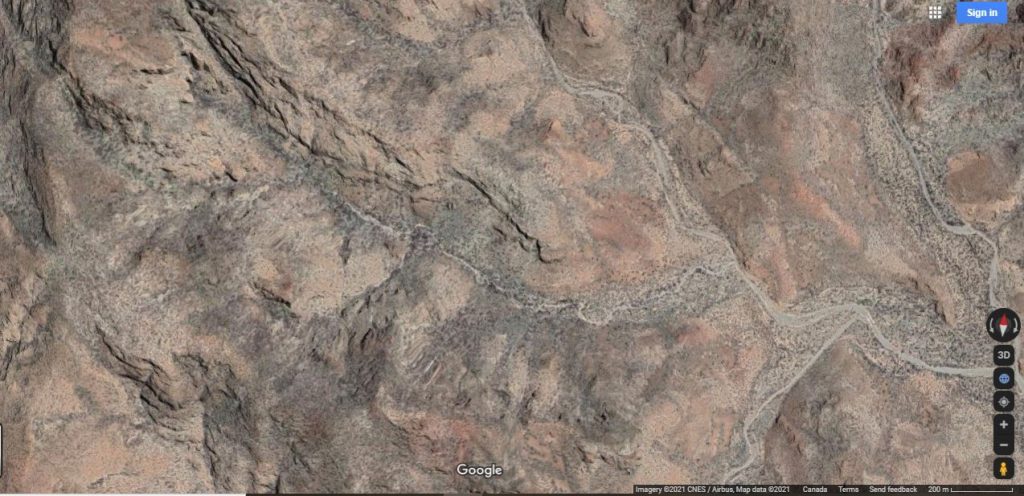
3 LEFT starts at about 3.8km from road at 26.704751,111.939350 and 119 meters altitude and heads west. This is the same starting point as 4 Right. The prominent rocks on the right side of the main arroyo contains a cave that is described under Santa Barbara Main.
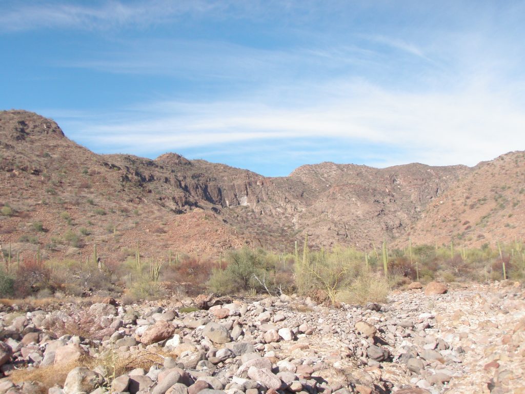
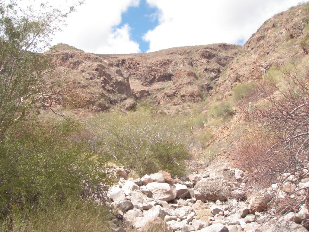
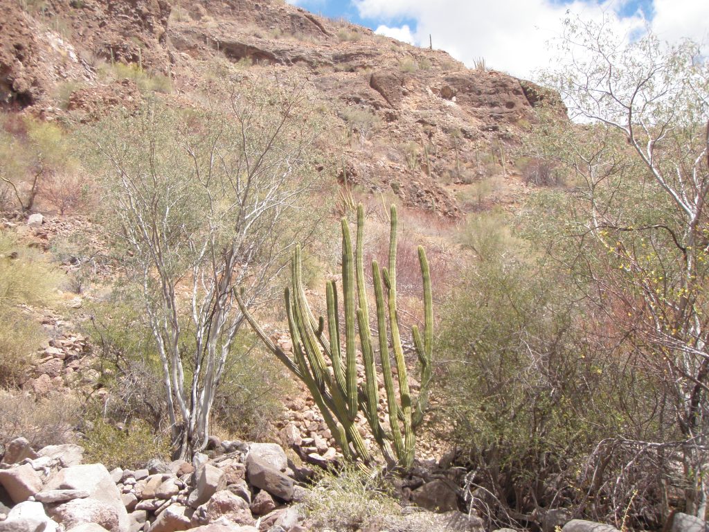
View up arroyo 3 LEFT from the junction with the main arroyo. The lower ½ to 3/4 km of this arroyo has relatively flat benches on each side supporting good stands of the Palo Verde, Palo Blanco and Palo Fiero as well as various cactus species.
No trail is visible on the benches in this arroyo but trails are still visible close by in the main arroyo and leading into 4RIGHT arroyo.
About 200 meters into this arroyo there is a small knoll on the left at 26.702311, 111.94093.

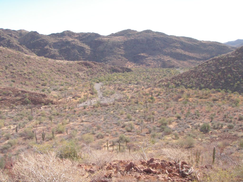
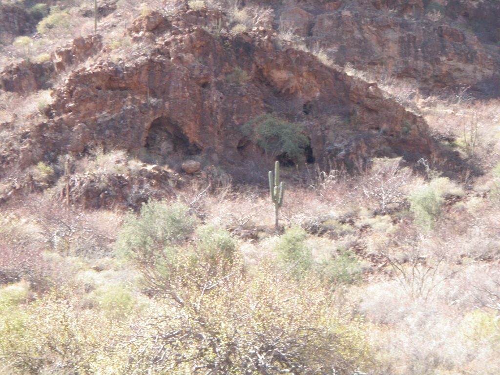
This knoll gives a good view down the Santa Barbara Main arroyo (Photo above right), and up arroyo 4 Right (Photo above left).
Immediately below the crest on the north side of the knoll, facing the arroyo there is a small standard cave. Cave SB 3L C1.
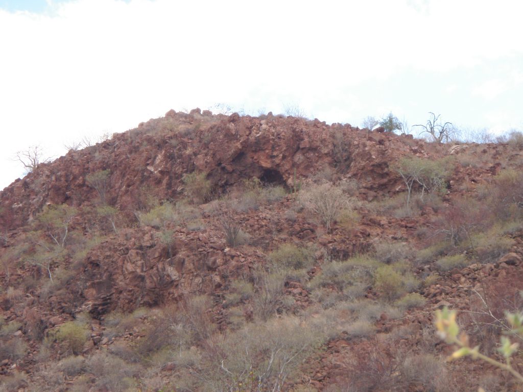
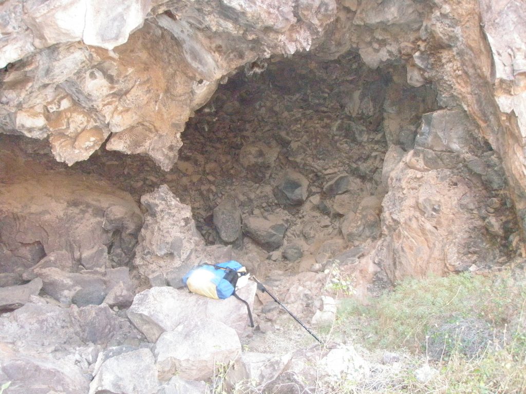
Cave SB 3L C1. This standard cave is about 3 meters wide by 3 meters high and about 2 meters deep. There were no metates, shells, shards or art in this cave. Access to the cave is quite steep here.
There appears to be a trail leading off the main arroyo, going above the knoll and cutting across the south side of 3LEFT to a small rock shelter at 26.701661, 111.943520, above a talus slope, which is about 80 meters off the arroyo at 4.3kms. This shelter was not checked out as the side of the arroyo here is getting very steep.
Slight Draw to the left at 4.55kms at 26.702677, 111.945375.
Cave SB 3L C2 located about 200 meters off the arroyo in a prominent overhang at 26.70126, 111.94555 and 208 meters altitude.
This is a compound cave containing 4 separate chambers. The largest part containing 2 chambers is about 15 meters wide, 5 meters high and about 8 meters deep. The rock is Andesite and some rock shards were found that showed evidence of being worked. The roof of this part of the cave was very loose and there was a recent fall of rock.
In the small chamber of the main cave there were quite a few loose rocks, some of which were formed into a circular wall about 1 meter diameter and about 60cms high? The only photo I have of this is badly over exposed. Could this enclosure have been used to restrain a small animal? Or maybe a very young child while the mother was out gathering seeds? No other artifacts found but there was a clear bodied scorpion in residence. There were no metates, shells or art in the cave. From this cave you have a good view to the north, to the arroyo junction and further up to the head of the arroyo
Draw, Prominent, on the left at 5.0kms at 26.714393, 111.950103 that leads up through a rocky cut about 100 meters off the arroyo. No shelters visible.
From this draw onward there are numerous rock outcroppings on the left side of the arroyo some containing caves but they are high up and on a very steep falda.
The arroyo becomes steep with large boulders and quite overgrown.
Arroyo splits at this point at 5.5kms and 26.70531, 111.95191 and altitude 270 meters. There are two large rock groups of supported rocks close by that have created small shelters underneath. The floors of these shelters were flat and showed evidence of use by animals. I turned round at this point and headed back.
The arroyo sides are very steep from this point on. The Pass to the Mulege drainage basin would be a hard climb from the arroyo floor here and is about 580 meters at 6.2kms from the main arroyo Vado and 26.707758, 111.960290 This passage would meet anyone transiting from the 2LEFT arroyo at the top. There is however, quite a discernable trail leading from the pass down into the Mulege basin that can be seen on Google Earth.