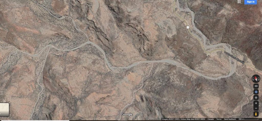
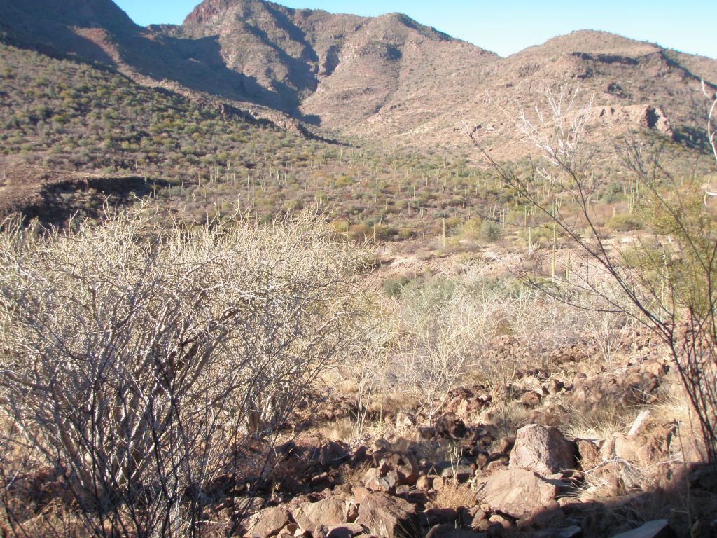
Main Arroyo from road to junction of 3 LEFT and 4 RIGHT. This will also cover WASH 1R and WASH 2R.
All distances are measured from the Vado at Mex1
NO art discovered in this section of the arroyo.
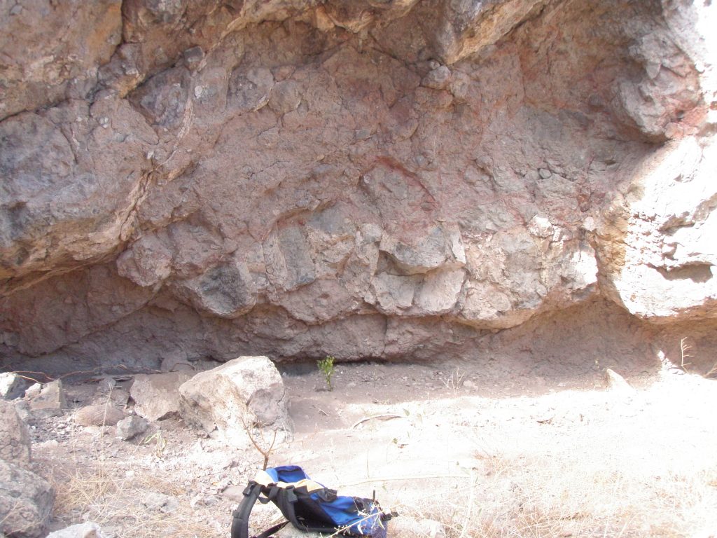
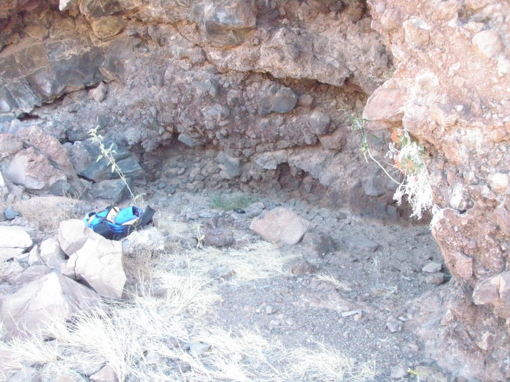
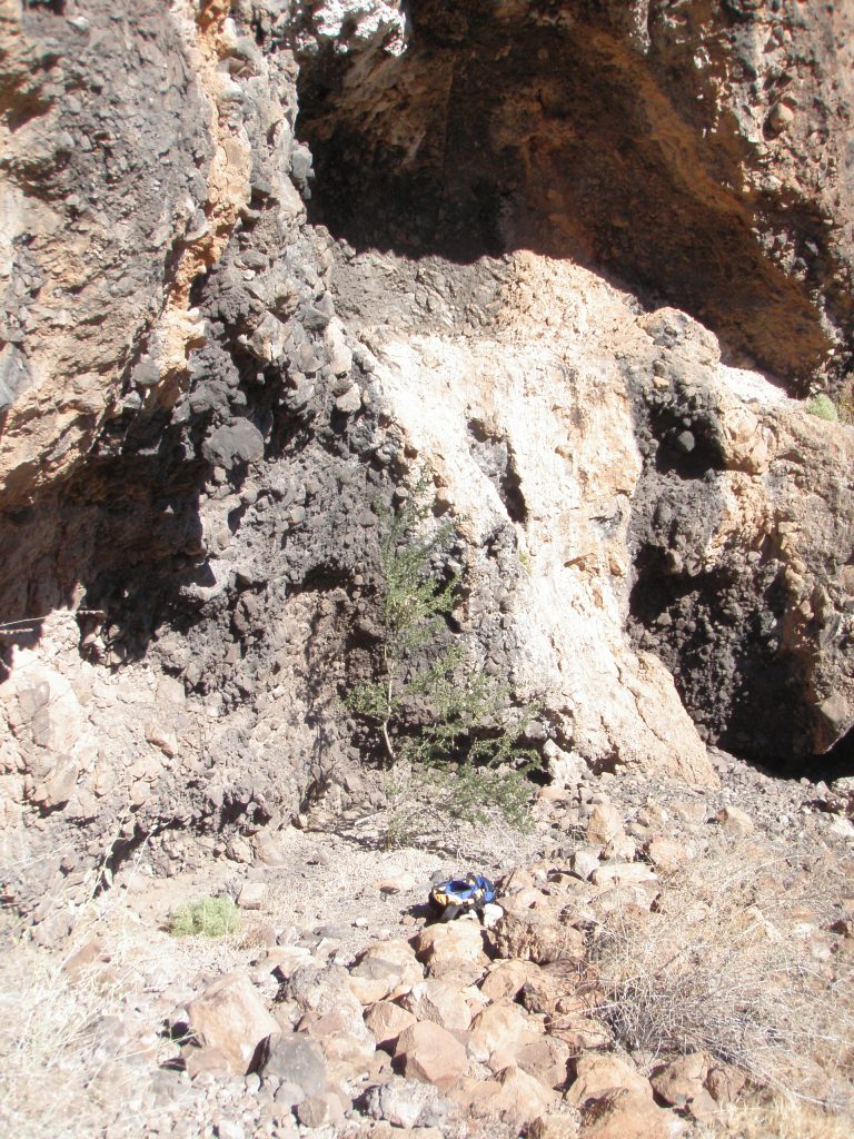
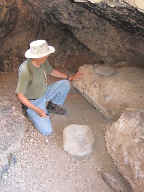
Large Overhang on left at 0.75km and 26.69162, 111.91673 about 40 meters from arroyo. Elevation 414 ft (arroyo 215ft) Contains three north facing caves above a bench area. The bench is about 30 meters above the main arroyo. Cave SB M C1. The furthest left cave is about 20 meters wide 2 meters deep.
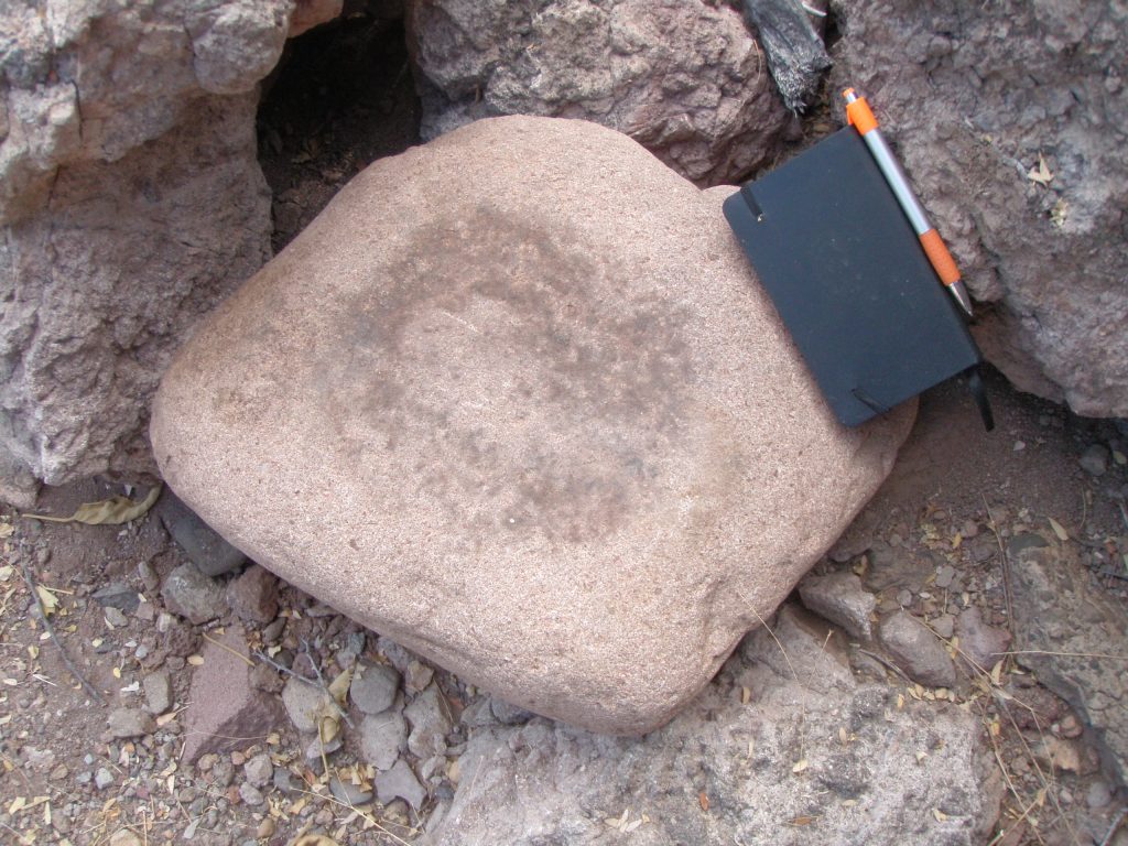
Cave SB M C1.
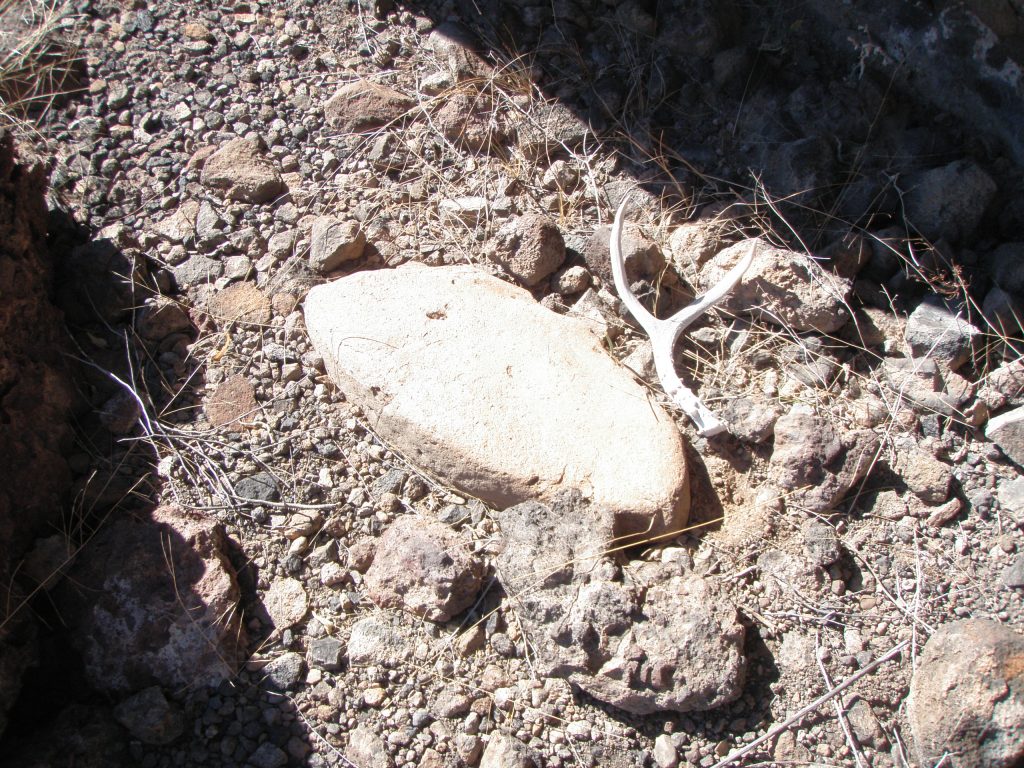
This cave contained 2 Metates, one Mano and 2, two point deer antlers.
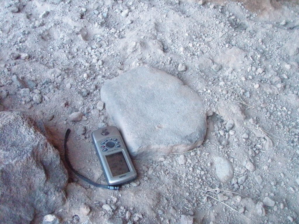
This is SB M C1 left side. One of the metates was found here. No midden and no trail evident. Some flint knapping evident. Occasional shells evident.
There is a smaller, inaccessible cave some 15 meters above this cave that has the front edge or lip covered in white guano. This smaller cave is quite visible from the trail leading down from the parking area near the shrine. . . Almost at eye level as you start your descent into the arroyo.
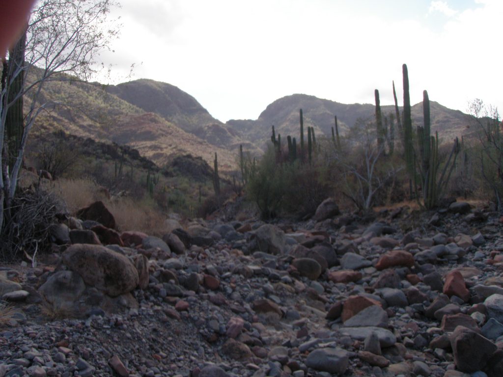
WASH 1R before arroyo 1 Left. A small wash leading off northeast to the right of the main arroyo. In this view from the wash towards the south, you can see the two peaks of Cerro Calabazas on the left skyline
Cave SB W1R C1 26.69683, 111.91739 altitude 110 meters on the south side of the wash with a northwest prospect. Contained 2 metates, Cave about 15 meters wide, 3 high and 4 deep. No art, no midden, no trail but easy access from the bench below. Occasional shells evident.
Cave SB W1R C1. One of the two metates found in this cave.
In the immediate vicinity there were two other caves. SB W1R C2 and this one, SB W1R C3. Each cave contained 1 metate. There was a very slight sprinkling of shells.
This shows the prospect from SB W1R C3 to the southeast towards the main arroyo Vado and again, the main arroyo below, at center right.
On the north side of the wash are bluffs with caves and shelters in them, most not visible from the main arroyo. Cave SB W1R C4 26.69967. 111.91933 altitude 169 meters, 1 metate, no art. Difficult access over rocks and loose footing. Southeast prospect.
Cave SB W1R C5. 26.69888, 111.91926. Altitude 139 meters, 1 metate, 1 deer antler. No midden, no art. Easy access from below. Southeast prospect.
On the south side of the wash are two more caves with nothing of interest inside.
Cave SB M C2 at 26.69459, 111.92027, Alt 111 meters and about 200 meters to left off arroyo. 2 small shelters here, 1 metate, no art, no midden.
ARROYO 1 LEFT at 1.5km from road at 26.696501, 111.921858. heading southwest.
Staying in the main arroyo. . .
About 50 meters upstream of 1 LEFT arroyo
there is the remains of concrete work and a dam in the main part of the arroyo. The dam has been destroyed and will not retain any water after a rain.
There is a well defined trail on the left side of the main arroyo here starting from the junction of 1 LEFT and paralleling the arroyo for about 400 meters.
There is a prominent overhang on left at 1.8kms at 26.696370, 111.925348 with trails evident leading to it. A Shelter here but nothing significant in it.
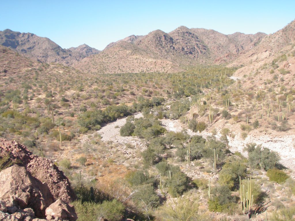
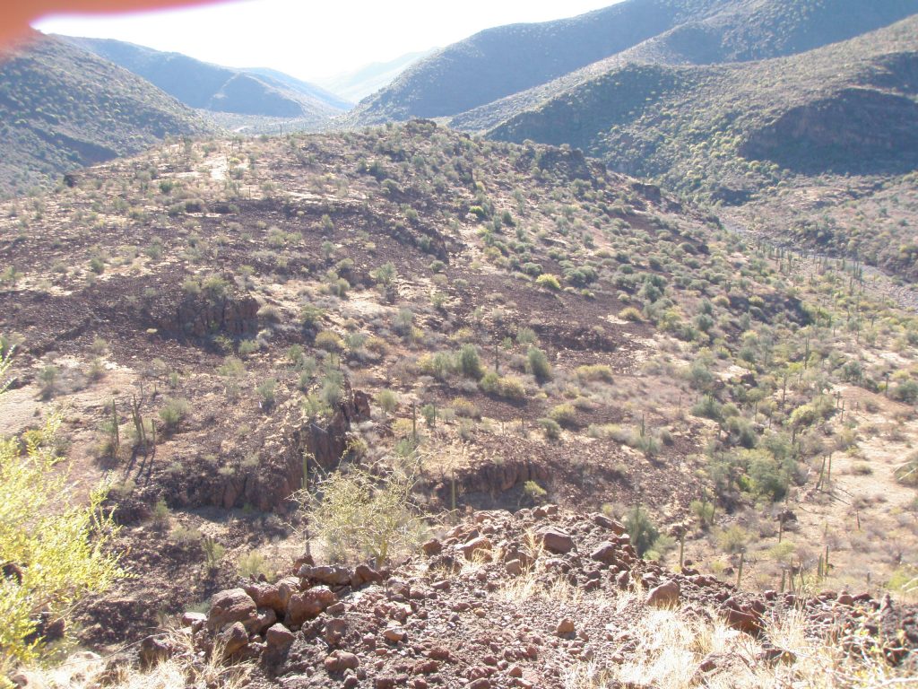
This is the view upstream in the main arroyo from a vantage point in the region of arroyo 1 LEFT. Bench areas will provide seeds and fruit from trees and cacti. Straight ahead here is arroyo 5 RIGHT . . . main arroyo curves to the left.
Small overhang on left about 50 meters off arroyo on same level as arroyo at 2.1kms and 26.696701, 111.928127 with trails in area. Some small shelters here with nothing in them. .
Large overhang further off arroyo at 2.5kms and 26.697179, 111.931108. Evidence of trails in area. Some shelters with nothing in them.
ARROYO 5 RIGHT at 2.6kms from road at 26.702126, 111.929265
It will have taken you about one hour of steady hiking to reach this point, so, if you are going further you may want to consider stashing some water and snack here to have on your way back. (Tip I picked up from Bruce Schweers)
Staying in the main arroyo. . .
There is an overhang facing north on left about 200 meters off the arroyo above a talus slide at 26.699861, 111.932666, altitude 170 meters. Many trails in area.
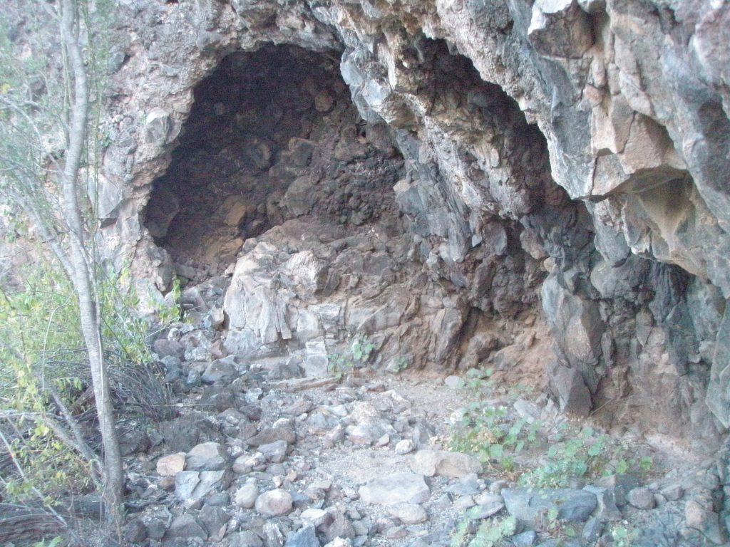
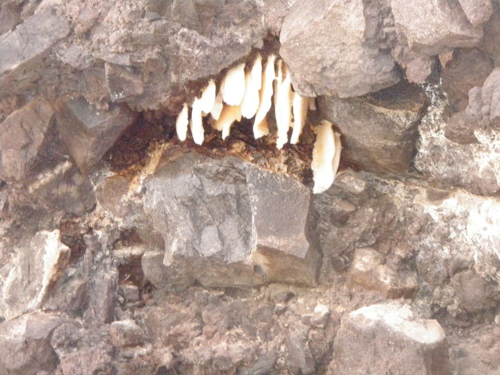
Cave SB M C3 Large cave in this location with wild Bee honeycombs hanging from ceiling and quite visible. No metates or art visible in cave but did not spend too much time looking closely here because of the bees. Another small bluff further up the hill with no caves.
The area to the right of the arroyo just upstream of the junction of main arroyo and 5 RIGHT is a significant bench area heavily covered with trees, cactus and shrubs. In the center is a sloping rise shaped somewhat like a glacier moraine.
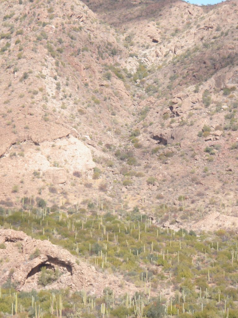
The lower cave in the picture is Cave SB M C4 in the ‘Moraine’ described below. Above, are two caves that would be accessed from Arroyo 5 RIGHT. The lower cave is SB 5R C2.
I never did climb up to the upper cave. Maybe you would like to?
Cave SB M C4 Overhang with large cave facing southwest at base of ‘moraine’/sloping rise on bench at right of main arroyo 150 meters off arroyo at 3.0kms and 26.703539, 111.931938, altitude 99 meters. Recent rock fall in cave may have covered items of interest. No art or metates but some occasional shells in area.
Many trails in area. Bench has varied species of trees with Palo Verde, Palo Blanco and Palo Fiero evident as well as elephant trees to 4 meters high. Area may have been a good area for collection of seeds and fruit.
ARROYO 2 LEFT at 3.3km from road at 26.703447, 111.934812.
Staying in the main arroyo. . .
Main arroyo turns to left just past the mouth of arroyo 2 LEFT
There is a bench on the left with a talus slope behind it. A few meters up this slope is a noticeable depression at about 26.70174, 111.93905. The depression is about a meter across and about a meter deep. I believe this to be a Look-out Post where Cochimi would be stationed in order to watch for intruders. There is a good view down to the bench where there may have been Habitation circles and also up arroyo 2 LEFT, and both ways in the main arroyo.
ARROYOS 3 LEFT and 4 RIGHT at 3.8km from road at 26.704751,111.939350 altitude 114 meters.
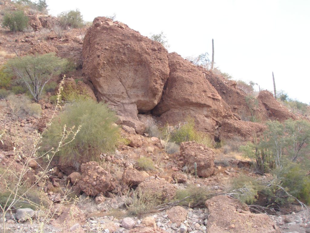
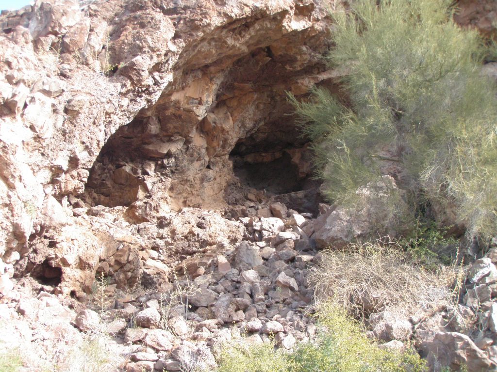
Very large prominent, house sized boulders of brown volcanic tuft on right at junction of this arroyo. On south (downstream) side of this grouping there are two smaller bus size boulders leaning together forming a small cave/shelter. Cave SB M C5.
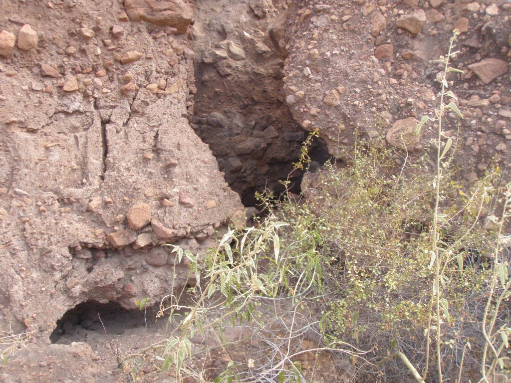
Cave SB M C5. This cave is small, about 3 meters square at the entrance and a depth of about 4 meters.
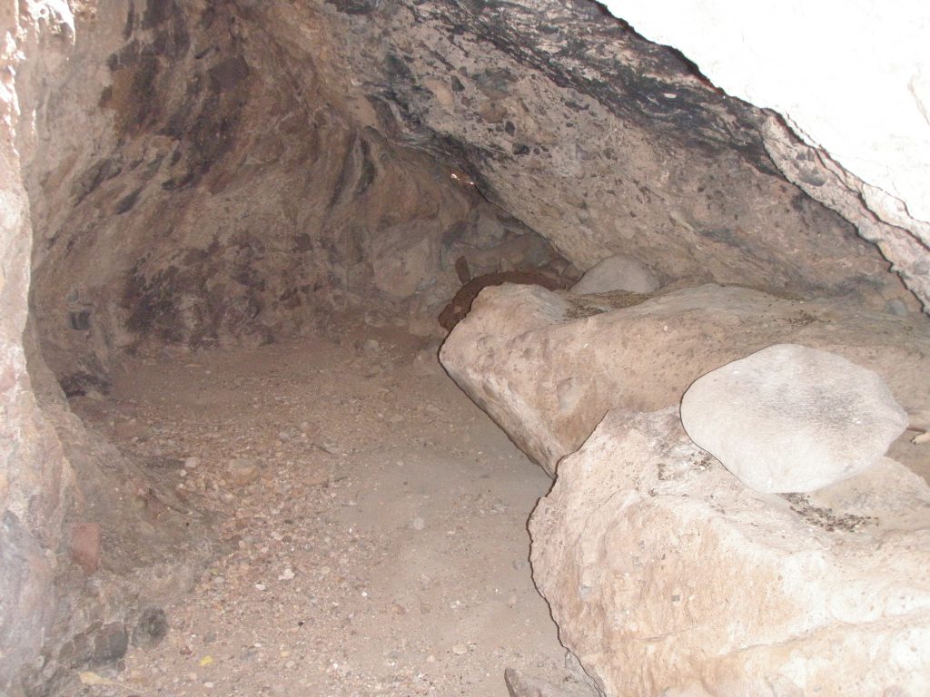
There is a prominent ledge on the right of this cave about ½ meter high off the floor. You have to stoop down to enter the cave. The cave contained 4 metates. This is a large number of metates considering the size of the cave. One at the front of the cave had been lifted up off the floor and placed on the ledge. I believe that local ranchers do this to clear the floor of caves to make it easier for cattle to bed down. The other three were at the rear of the cave and may have also been placed there out of the way by ranchers. This shelter/cave shows significant blackening on the roof from fires. No art in cave, there are shells close by. No art was evident on the sides of the boulders in the immediate area of this shelter.
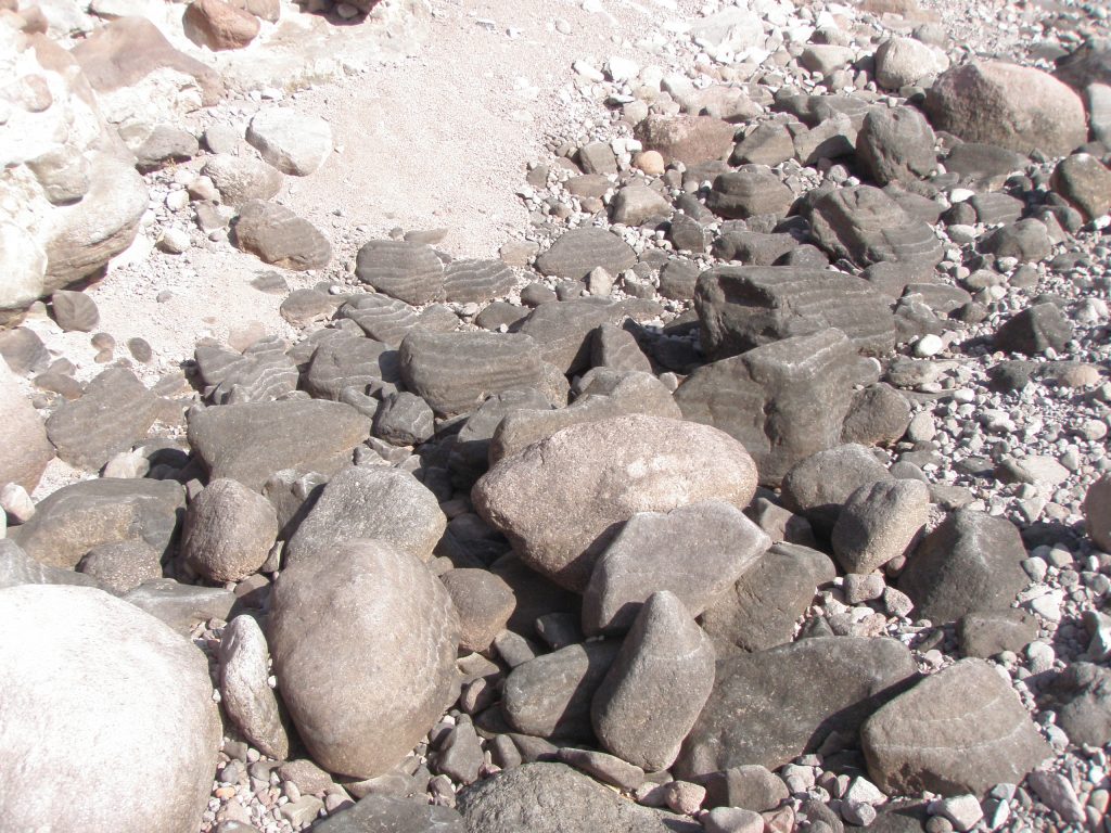
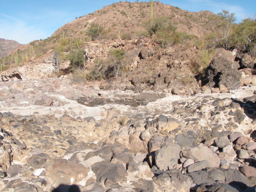
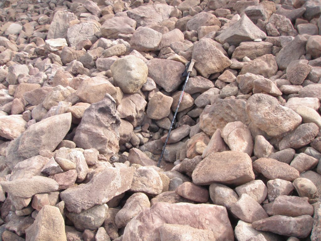
There are places in the main arroyo where there are significant depressions in the bed of the arroyo. The rocks in those depressions have been stained black from the repeated filling and evaporation/draining of water and in places there are white stained lines on the black rocks indicating water levels. This gives the rocks an attractive two toned colouring.
These locations, and others like them, will attract animals during times of frequent rains and will have been known to Cochimi hunters.
During my time in the Santa Barbara watershed I have only seen deer on two occasions and each time it was here in the main part of the arroyo.
This ends the description of this section of the main arroyo. However, if you progress about 100 meters further on, in arroyo 4 RIGHT you will find a very large water filled Pool or Tinaja in the center of the arroyo. This would make this general location at the junction of the two arroyos, attractive to thirsty animals and their respective hunters.
From here you can chose to go further and take arroyo 3 Left or Arroyo 4 Right or return. You are about 1.75 hours from where you parked.