This site is a Petroglyph Site
Mex 1 south of Conception Bay
How to get there:
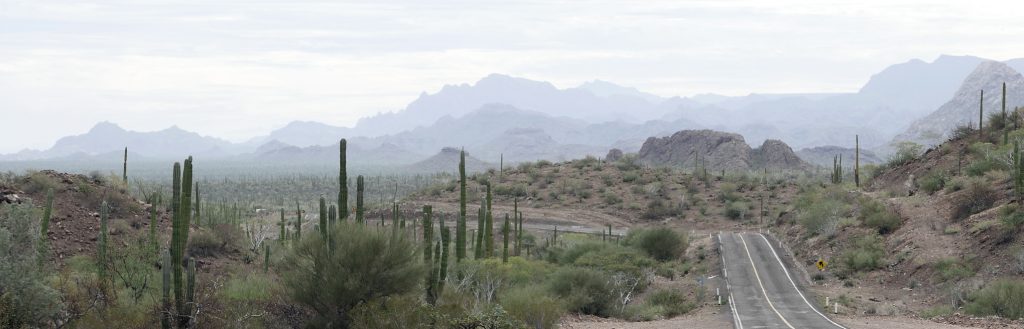
From El Rosarito on Mex 1 a few kilometers south of Conception Bay, take the gravel road east towards San Nicholas.
There is a trail to right at 6.9kms 26.49741, 111.61175. This trail can be seen once you crest a small rise and can see the 7km marker post on the right side of the road.
Go down trail about 60 meters and park. Your vehicle wont be seen from the road here.
Walk down trail about 70 meters more to first small arroyo at 26.49573, 111.61081.
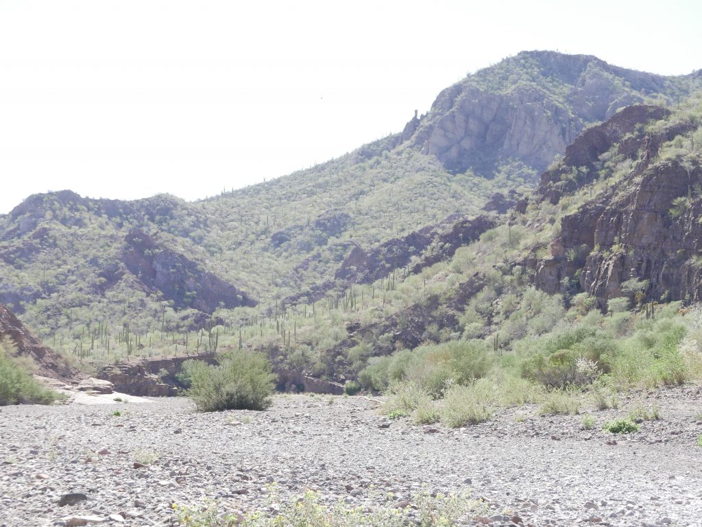
Turn left onto arroyo and follow to main San Nicholas arroyo in about 1.7kms. You will scramble down over two dry waterfalls. Nice easy terrain. Interesting rock bluffs on both sides.
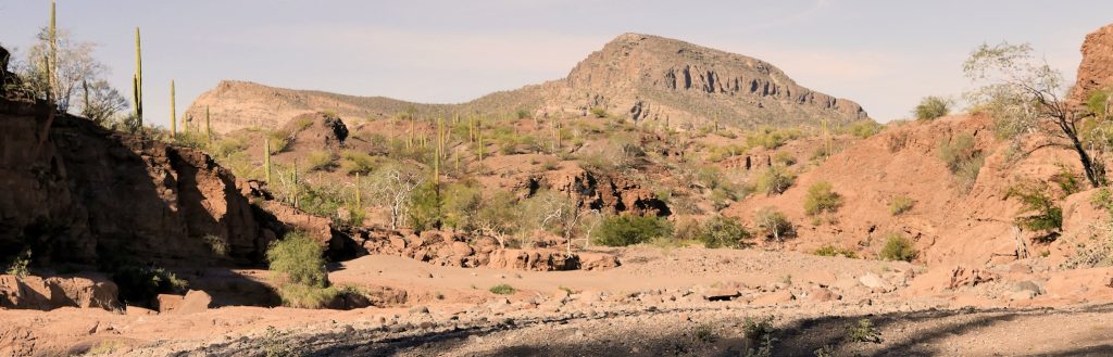
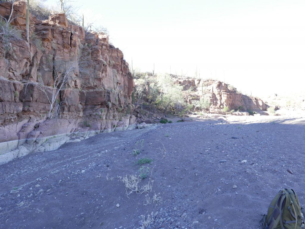
You will come out into main arroyo after about 1.7kms at about 26.49476, 111.60202 Main arroyo turns east here and heads to coast. Attractive red sandstone bluffs about 80 meters high in places. Somewhat like Sedona Arizona landscape. Turn left and head downstream in the arroyo for about 3kms.
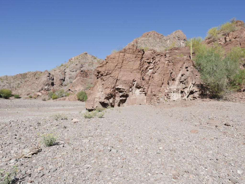
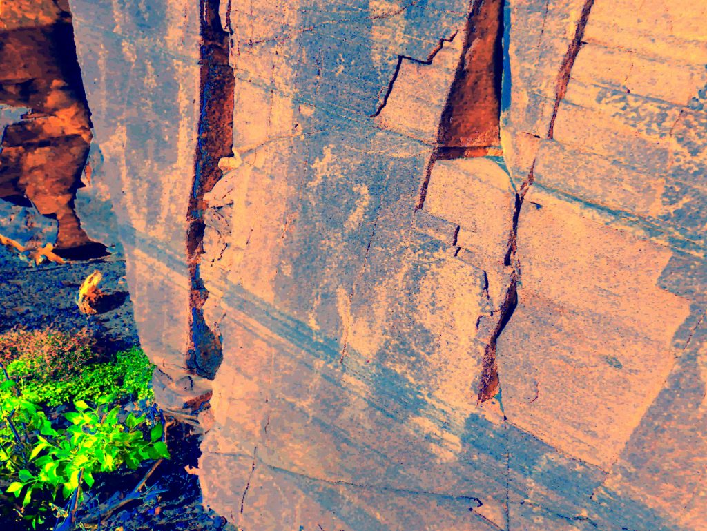
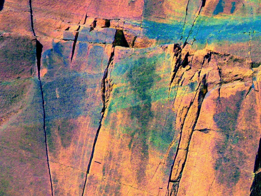
Continue to 26.49386, 111.58801. There is a brown sandstone peninsula about 18 meters high sticking into the arroyo from the left or northeast side. The petroglyphs are on the downstream side of this rock on a vertical panel in fractured rock.
Distance from San Nicholas Ranch is about 4kms and about 7kms from coast. From here to where you park is about 4km. Altitude here is about 40 meters.
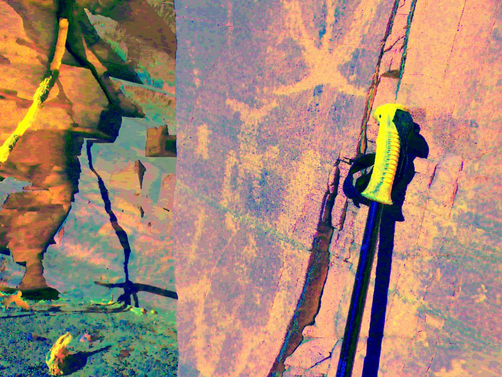
Due south of this site on the skyline about 2km distant you can see a prominent rock outcropping resembling a raised single finger.
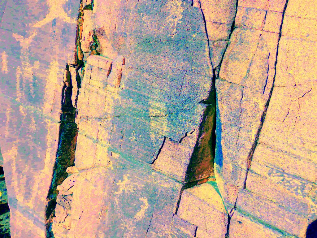
The rock outcropping with the petroglyphs will create a backwash eddy when high water is flowing in the arroyo. This eddy will allow sand and small rocks to build up on the downstream side of the rock increasing the ground level somewhat. This increased ground level seems to have covered some of the petroglyphs
Panel is almost vertical and faces almost due south. Panel is about 6 meters wide and 3 meters high
Numerous fishes, turtles. Some figures show checkerboard interiors.
Three small anthropomorph figures with hands up about 12cms high.
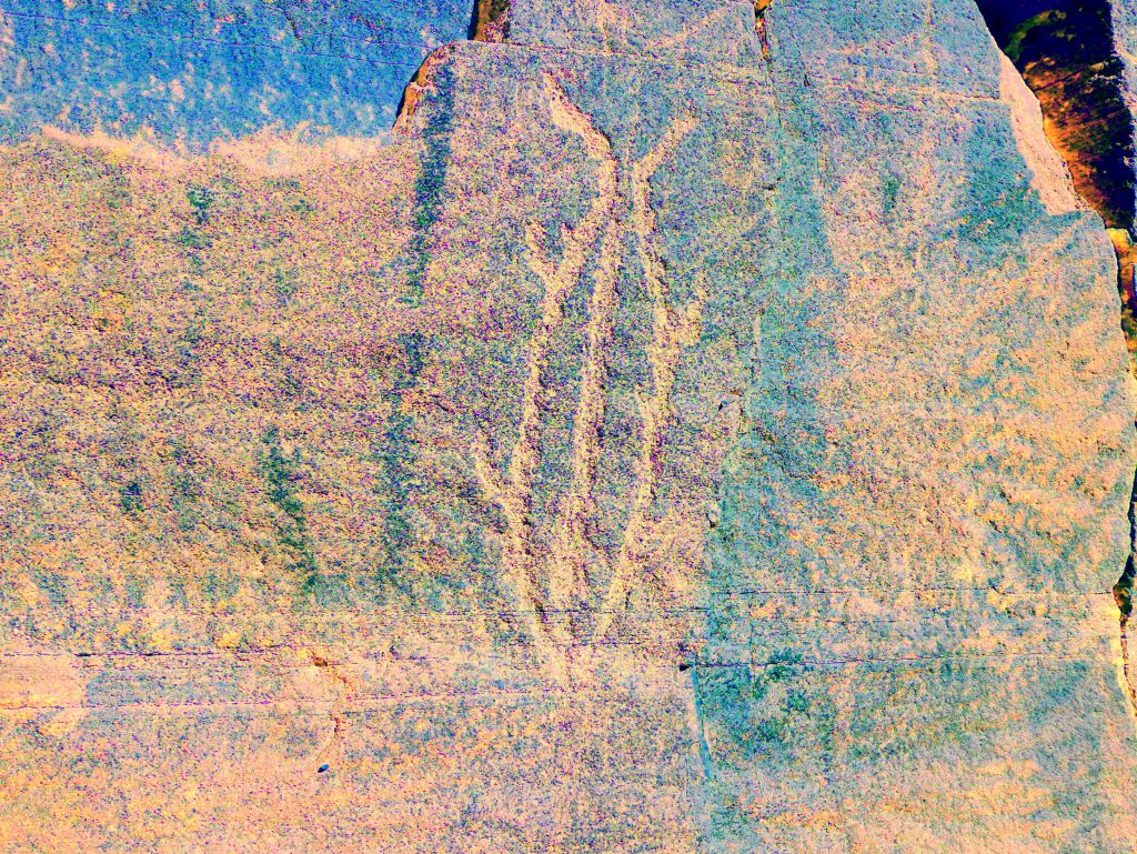
On the left portion of the panel are vertical black marks with other faded ones underneath.
Description of Petroglyphs:
All the petroglyphs at this site are in what I call the “Ancient” style. This being lines that are drawn with appreciable width and depth, probably made by repeatedly hitting/etching the stone more than one time to produce considerable incised depth.
Most of the petroglyph photos have been enhanced using DStretch software from Jon Harman at Dstretch.com. Thanks Jon!
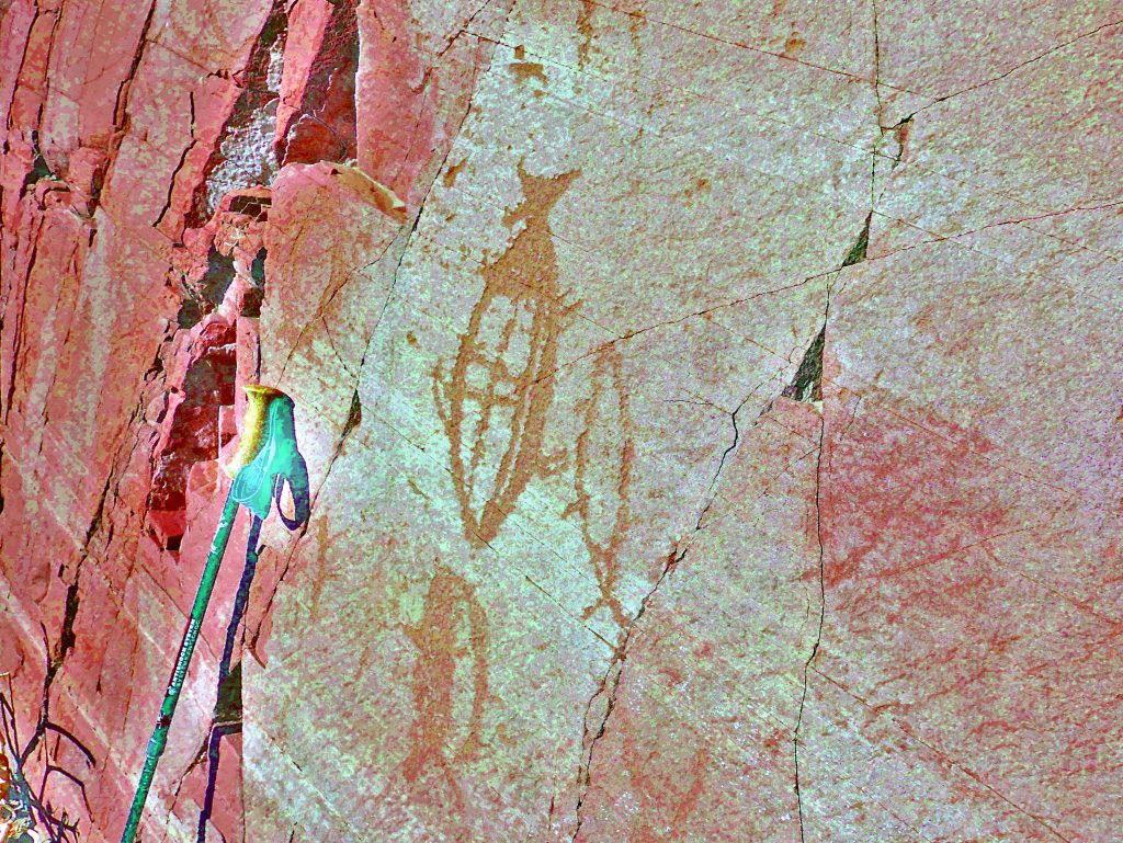
SN 01 flt_yrd
25cm Tail up fish with infill checkerboard pattern and solid infill near tail and the belly/bottom. On the right, 20cm outline of fish with head up. Below, 15cm fish with head up, half with solid infill. Near handle of walking pole is 10cm image of lizard man.

SN 03 flt_yrd
15cm image of turtle with head up and short tail down. Infill lines follow outer shape/curve of body.
SN 05 ac_ybk
15cm Image of anthropomorph (man?) with arms up almost completely solid infill.
SN 06 _ybk
20cm image of unknown object. Appears to have a tail (to the right) and fins but head (to the left) shows large feelers?
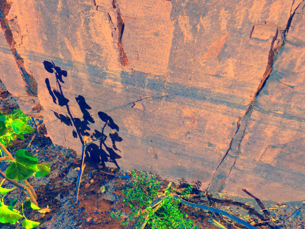
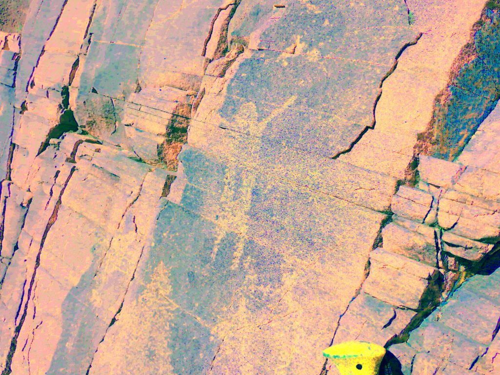
SN 07 _ac_ybk
15cm image of man (above shadow of plant) again with arms up. Indistinct 20cm image (blob) to the right of this man. In top right of this photo are a series of seven incised marks about 3 – 5cms high. These were not noticed when the photo was taken but showed up when the image was enhanced.
SN 08_ybk
To the left of the man in photo SN 07 is a 20cm image of an object with four arms/legs with a separate object between the upper arms.
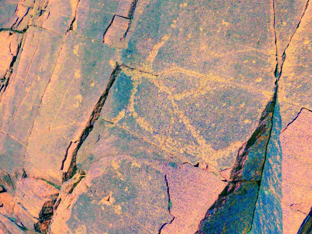
SN 09_ac_ybk
Immediately above SN 08 is another 15cm image of a man with arms raised. The bottom part of the image missing due to rock flaking off.

SN 10_ybk
Close to the left edge of this panel is a 30cm image of what appears to be a fish with a beautiful compound curved tail facing down. There seems to be a protruding fin on the left side. There is no detail of the fishes head, instead there is a protruding pin shaped object about 4cms long. There are longitudinal lines drawn within the body of the fish but no infill pattern. There seems to be intentional marking about 3cms long on the centre, right side of the image. This is very similar to certain ‘fish’ pictographs showing ‘conflict’ in the Arroyo El Tordillo behind Los Cocos beach. Is this where the ‘Fish Man’ came from, or was banished to?
SN 11-12,
19, 37 Below the fish in SN 10 is an image that may be a turtle with a small
upside down man close to it’s head. The turtle has some infill lines and
. . . . see below
Continued from above . . .
SN 37_ybk
also has a solid pecked line extending past the left edge of the rock in this
panel and continuing a short distance (+/- 2cms) on the other side/face.
SN 29_ybk
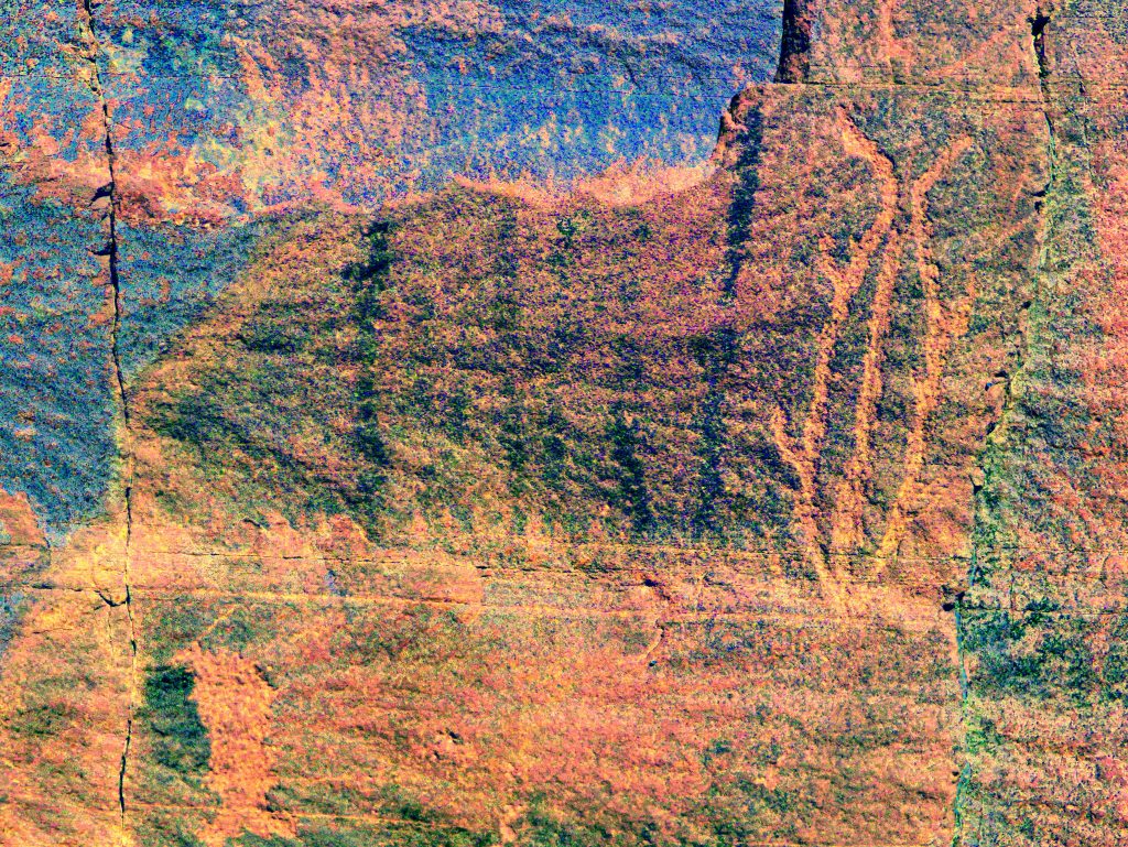
At the top of this panel is a black image which may be just a water stain or may be a turtle?
To the left of the main panel and at right angles to it, is another panel that supports some images. This panel appears to have been splashed with a liquid, maybe by someone trying to enhance the faded images? On this panel you will find:-
SN 13, 16_ybk
15cm image of fish (in the Ancient style) with tail up four fins and a central internal line. No infill. To the left of the fish are some indistinct vertical black lines about the width of a finger wide.
SN 39_ac_ybk
Below the image of the fish and the black lines there can clearly be seen an image of the sea monster of San Nicholas still known today by local fishermen to be the cause of damaged nets and broken fishing lines.
SN 15_ybk
At the bottom of this panel are two images, both fishes about 8cms high, one completely infilled the other not.
There are other indistinct images on these two panels but the panels have enough interesting images to make an excursion to view this site worth while.
You can return to your vehicle by retracing your steps, but if the day is still young and you have extra energy, you can return by a different route.
To take this route, first return to the point when you first entered the main San Nicholas arroyo at about 26.49476, 111.60202 and continue upstream in the main arroyo
High bluffs on both sides. After about 1km arroyo swings west. Continue on past pools. Swim or soak in one if you want, the pools are quite large. (Pools east. 26.48622, 111.610171)
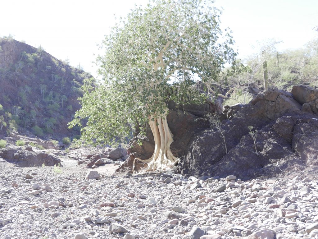
About 6 Wild fig trees at various places on this route
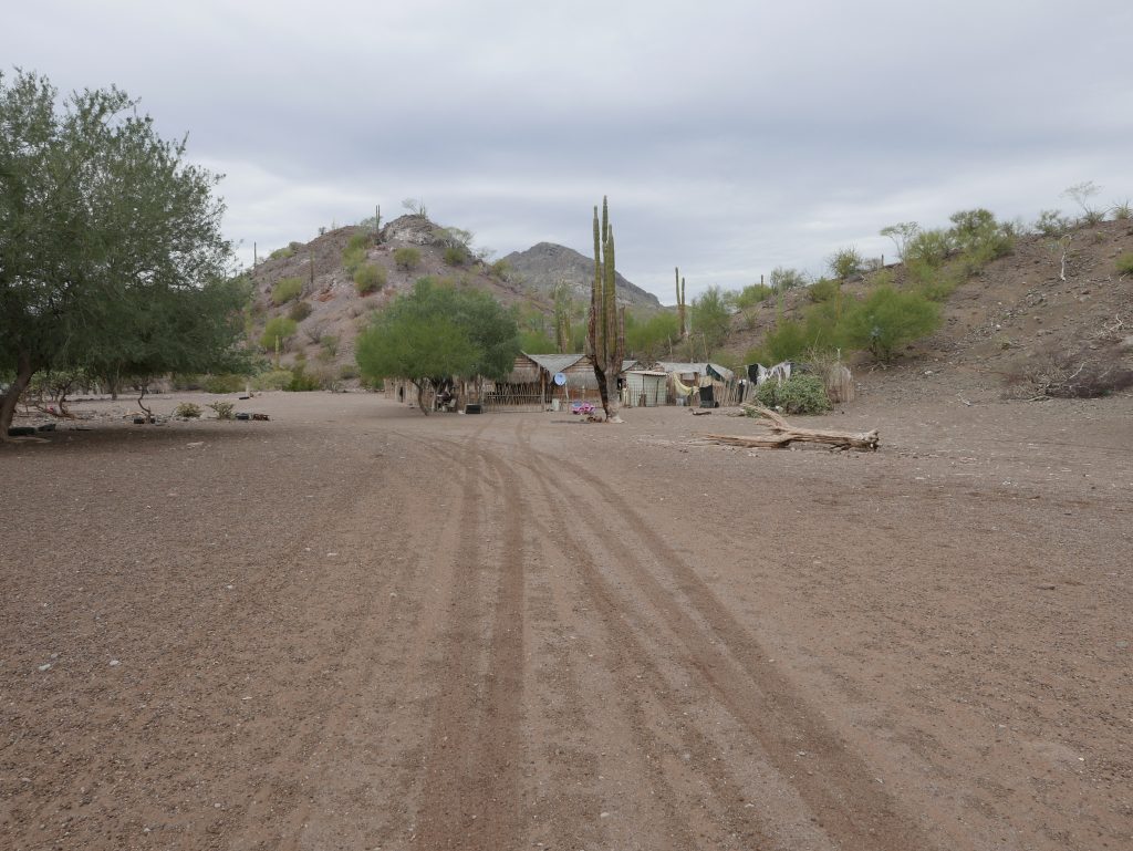
In about another 1km, past the pools, come into open area with low bank on right, (you cant see over this bank but you should leave arroyo here) above this bank are two buildings and corals at about 26.48735, 111.61341.
From the right of the coral area there is a trail that will take you back to where you parked in about 1km or so (uphill)
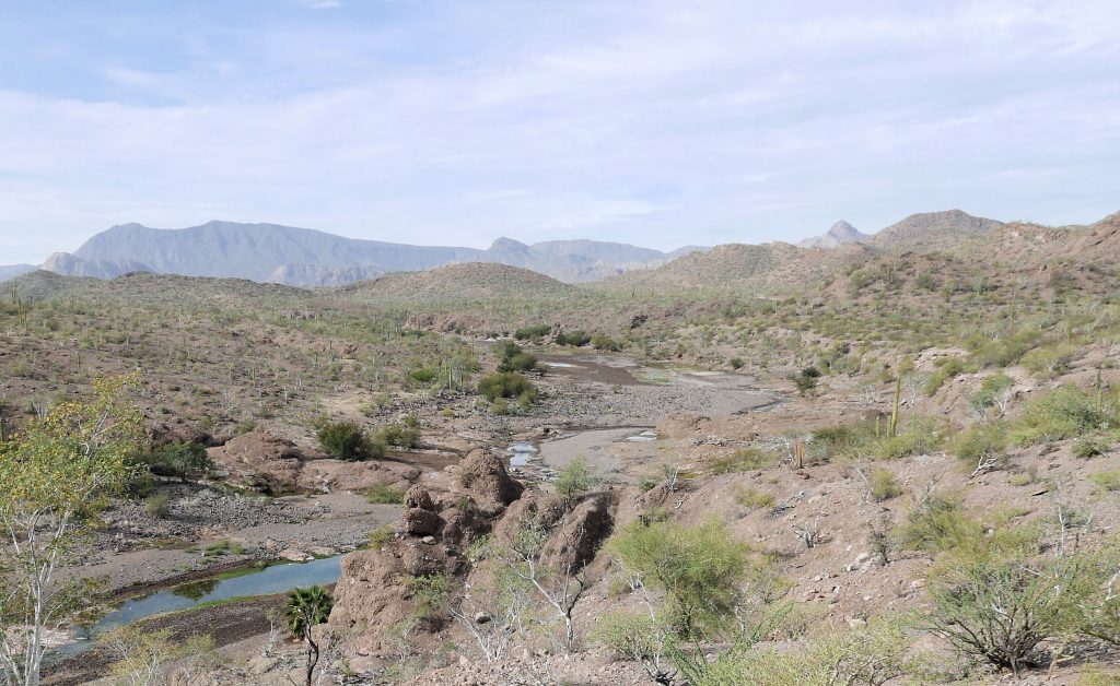
If you stay in the arroyo past the ranch buildings you’ll come to the west pools at about , 26.49692, 111.61629. You need to go back to the ranch to get the trail back to your car.
Once you’ve returned to El Rosarito you can stop at the Las Palmas restaurant you passed on your way to the Petroglyph site. They always have cold beer!